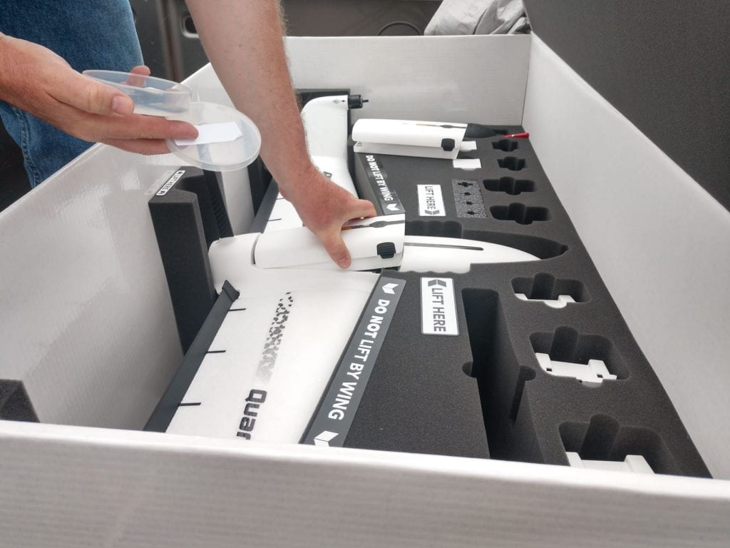
In this image, Greg is inserting a fresh battery for a new round of flights. Quantix drones can survey up to 400 acres on a single 45 minute flight.
This week I got to see even more drone action in the field. Greg and I drove up to several farms and he walked me through the flight process in more detail. Greg is a FAA certified drone pilot and has been troubleshooting with our current drone lineup for quite a while. He has run into some issues with one of the drones, Quantix, which is almost too automated for its own good. The Quantix take-off and landing processes are fully automated, which means that the drone not only pilots itself but also sets its own take-off and landing flight path. Although the drone has a unique method of vertical take-off and landing, it is still at a relatively low altitude when it begins its second round of fixed-wing style flight while increasing or decreasing altitude. Quantix drones are considered “hybrids,” in that they combine the agile helicopter-style flight of quad-copters as well as the speedy and highly efficient cruising motion of fixed-wing planes.
Although it would normally be a big perk to have the pre-scan and post-scan flight paths automatically generated, the tree lines in New York State make this style of take-off and landing very risky. It would be too battery draining for the drone to use vertical take-off to reach its final cruising altitude, so Greg has been looking for new ways to manually alter the pre-scan and post-scan flight paths. These include selecting new initial take-off and landing zones for the drone, as well as modifying the area that the drone is set to actually scan in order to force a new overall flight path. Although it would probably be incredibly easy to use in my home state of Iowa, the massive tree lines and diverse landscapes of New York State provide an array of challenges for this drone.
