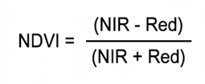
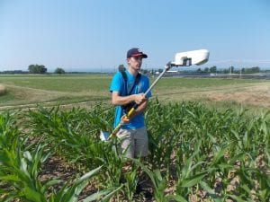
Another job is to walk the greenseeker. The greenseeker is a device that measures Normal Digital Vegetative Index (NDVI). It is used to quantify vegetation by measuring the difference between near-infrared (which vegetation strongly reflects) and red light (which vegetation absorbs). This is one way to estimate the potential yield.

The formula for NDVI. NIR stands for the near-infrared light reflected and Red is the amount red light absorbed.
Covering each strip does take a long time since there is only one greenseeker. It’s especially grueling during the heat and humidity of summer while keeping at a constant speed at 3 feet above the canopy.
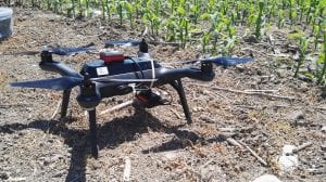
Drones flying can be very challenging. Weather and surrounding objects play a large role in the success of a drone flight for a particular field. The drone is responsible for taking multi spectral satellite images that measures the amount of reflected light by the plants from the sun.
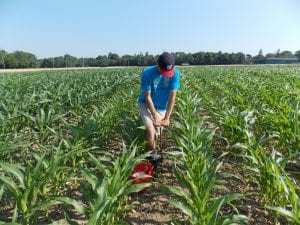
It has been an insane period of time traveling across the New York from Peru, to Hudson Falls, and to Perry. In total 30 fields and 5 research plots were soil sampled, had greenseeker data, and drone images taken. A total of 3147 soil samples! The next part of the project is processing the data in order to make sense of it all.


