December 2, 2015
by vmn22
0 comments
Look both ways. Listen for cars. Stay on the sidewalk. Hold my hand while we cross.
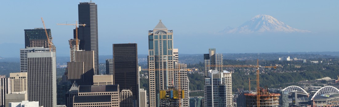
Any child growing up in an American city has undoubtedly heard their parents shout these words as their mother or father protectively reached for their small hand when nearing a busy intersection or entering a crosswalk. Starting in pre-school children are taught that they must be extremely cautious when walking along roads and crossing the street. They are warned that if they are careless, dire consequences will result. In most US cities streets have become synonymous with danger. They are viewed primarily as corridors for cars moving along at rapid speed, unless of course its rush-hour, when streets turn into a motionless mess of irritated drivers impatiently waiting to get moving again.
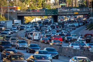
Highway Congestion. Eric Demarcq on Flickr.
For decades road design has been catered to the personal automobile, subordinating all other modes of transit. Whether it be public transit via bus or train, biking, or walking, it is rare to find road systems that accommodate these modes equally, if at all. Policy frameworks promoting street design catered to personal automobile use materialized in the first quarter of the 20th century and as personal automobile use increased, so did the width and speed of roads. Although these policies did not thrive unchallenged, it has not been until recently that the state of roadways in the US came under sharp, widespread criticism.

Poorly maintained pedestrian infrastructure. Tree People on Flickr.
Increases in per capita vehicle use have halted in the US, and total vehicle travel is expected to plateau in all but the most rapidly growing cities (Burden & Litman, 2011). As increases in automobile travel slow, concerns about the external costs of promoting automobile-oriented transportation systems have surged. The US experienced an annual average of 43,000 automobile accident related fatalities and another 2.5 million injuries over the past two decades (Burden & Litman, 2011). Human lives and safety are no longer considered an acceptable exchange for the convenience of reduced travel times. Auto-oriented roadways are also being chastised for putting stress on already vulnerable populations. In the absence of public transit and other safe models of travel, poor and elderly populations struggle to access goods, services, and employment if they do not own or cannot operate a personal vehicle (Burden & Litman, 2011). Continue Reading →