
NOAA Northeast Regional Climate Center, Cornell University
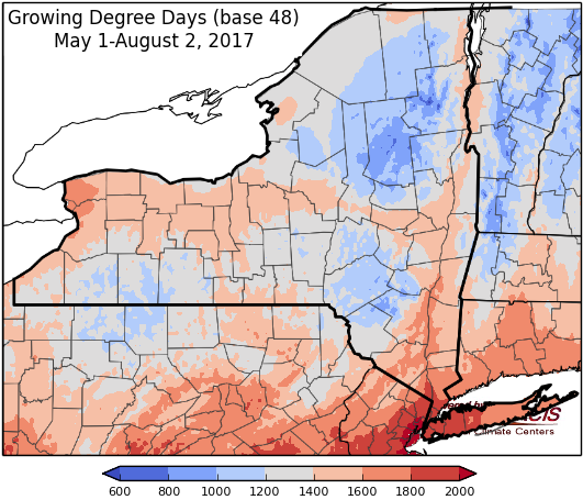
Last week temperatures ranged from 4 degrees below-normal to 2 degrees above-normal. Precipitation ranged from less than a quarter inch to over 1 inch. Base 50 growing degree-days ranged from 70 to 150.


Showers & thunderstorms Thursday & Friday, drying out for the weekend before unsettled weather returns on Monday.
Today temperatures will be in the mid to upper 80’s with humid conditions and scattered showers and thunderstorms. Isolated heavy rain, strong winds, and small hail is possible. Overnight lows will be in the 60’s.
Friday temperatures will throughout the 80’s, with showers and thunderstorms likely as a strong cold front moves through. Heavy rain associated with this front is possible Friday into Friday night, as well as damaging wind, hail and dangerous lightning. Overnight temperatures will be in the 60’s.
Saturday’s highs will be notably cooler, in the 70’s with a slight chance of showers, mostly in eastern NY as the cold front slowly exits the state. Overnight temperatures will be in the mid 50’s to low 60’s.
Sunday will by sunny and dry with highs in the 70’s. Overnight temperatures will be in the mid 50’s to low 60’s.
Monday’s highs will be in the 70’s with scattered showers possible. Heavy rain is possible Monday into Tuesday for some areas of the state. Lows will be in the mid 50’s to low 60’s.
Tuesday will have temperatures in the mid 70’s to low 80’s with isolated showers and thunderstorms possible. Lows will be in the mid 50’s to low 60’s.
Wednesday, temperatures will be in the mid 70’s to low 80’s with isolated showers and thunderstorms possible. Lows will be in the mid 50’s to low 60’s.
The seven-day precipitation amounts will range from 1 ¼” to over 3”.
The 8-14 day outlook (Aug 10-16) favors below-normal temperatures for all but the eastern edge of the state; favors above-normal precipitation.
Maps of 8-14 day outlooks:
http://www.cpc.ncep.noaa.gov/products/predictions/814day/index.php
National Weather Service watch/warnings map:
http://www.weather.gov/erh/
US Drought Monitor
http://droughtmonitor.unl.edu/Home.aspx
CLIMOD2 (NRCC data interface):
http://climodtest.nrcc.cornell.edu
