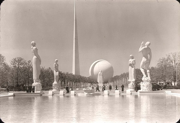
Trees may be significant historic resources and are often integral to taking a cultural landscapes approach to preservation and planning. Historic trees dating to the 1939 world’s fair remain a significant part of the contemporary landscape of Flushing Meadows Corona Park. We set out to include trees in our landscape analyses and 3D modeling efforts. This post documents our process.
A report entitled Preparation of the Site for the World’s Fair 1964-65. Supplementary Report 1 (1964) states:
The trees within the lease area, particularly those in formal rows, are of great value to the park and should prove of value to the Fair. They have grown for over twenty years on the site and hence are mature: they could not be replaced at their present sizes. We recommend that a contract be let for the replacement of trees that have died and have been removed: this refers to those in formal rows. The replacements should be as large as practicable. The contract should provide for having the trees selected and root-pruned, so they may develop new roots over two growing seasons, before moving them to the Fair site. It is recommended that the Fair Corporate make use of all of the trees on the site that were planted for the 1939-40 Fair. Where they are situated informally in open areas it may be necessary to move a number out of the way of proposed structures. The trees along walks and roads should be retained in their present location. No large trees should be destroyed without permission from the Department of Parks. [Emphasis added.]
All existing trees are shown on the aerial photograph on page 6 of the report.

Unfortunately, the aerial photograph referenced in the site preparation report was missing. We did have a large stock of images from Thomas Campanella’s collection, as well as the thousands of online and archival images of the 1939 and 1964 world’s fairs that could be used for tree identification. However, with photographs, it is difficult to pinpoint the geographic location of remaining trees with any amount of precision.
We checked for an existing tree inventory for the park. The New York City Parks Department did not have GIS data for tree points or detailed records in other formats that could be shared with us. We then checked the New York City GIS portal for available open data on trees. We found that street trees were mapped for areas all around Flushing Meadows Corona Park, but not within the park boundaries. An additional GIS dataset was available for reforestation planting areas and included polygons showing areas where new trees were planted. However, these were not locations in the historic core of Flushing Meadows and they did not show individual tree locations, only the general area of plantings.

A shapefile was created containing data collected from maps, site plans, and aerial photos and data collection from field visit described below. First we used the NYC Open data portal with street tree data in neighborhoods surrounding the park. By starting with this dataset, we ensured that the shapefile has the attributes common to the street tree census, although most of these columns of information are blank for trees in Flushing Meadows. The second set of data was a Demolition Grading Plan of 1965, which we georeferenced and used to add points to the map. We also used additional site maps with plantings that were found in the New York Public Library Archives.

We conducted additional background research into the types of trees that are common to New York City Parks and likely to be on site. This includes the London Plane Tree or Platanus Acerifolia. The New York City Department of Parks and Recreation has identified the London plane tree as the most common street tree in New York. The London plane tree is exceptionally resistant to disease and tolerant of urban conditions (e.g., soil compaction, air pollution). The London plane tree may be of hybrid origin, representing crosses between the American sycamore and Oriental plane tree (Platanus orientalis). The symbol of the Parks department is a cross between the leaf of the London plane and a maple leaf. It is prominently featured on signs and buildings in public parks across the city. The London plane tree is on the NYC Parks Department’s list of restricted use species of street tree planting because it constitutes more than 10% of all street trees. As a side note: London plane trees (and other Platanus species) are sometimes referred to as itchy ball trees. During the winter and early spring, the tree’s balllike clusters of fruits begin to break apart, releasing hairs that can be an irritant if they come into contact with skin or are breathed in. The hairs on young leaves can be similarly irritating.
On July 23, 2016, the research team visited Flushing Meadows to gather data on trees and light fixtures. Many trees were initially identified using the mobile app ‘leafsnap,’ which is an electronic field guide for tree and plant species in NYC and Washington DC. Their online website is www.leafsnap.com. The team took notes on paper maps showing digitized tree points.

 Diagram showing trees identified by research assistants Xiao Shi and Geslin George. Diagram by Xiao Shi.
Within the shapefile, four new fields were added to contain data from the field trip:
- Data_Sourc: data source of each feature.
- Scient_nam: Scientific name of the trees. These tree types were identified during the field visit.
- Common_nam: indicates common name of the trees identified.
- Confidence: indicates the confidence level of the type of tree identified at the site. For example, in the case of the feature identified as ‘Some type of Maple’ in the column ‘Common_nam’ has a confidence level of 80, which means that the tree belongs to the genus of Maple but we weren’t able to identify what variety of Maple. A small area in Flushing meadows has a mix of Small Leaved Linden and Honey Locust trees, hence they were given a confidence level of 50.

The shapefile was then imported into CityEngine. Models of specific tree species were downloaded and generated at appropriate points.
In addition, another dataset was created that shows the approximate location of trees, rather than exact locations or species. In the image above, this dataset is called ‘Existing trees used to create randomized trees in 3D models.’ Using procedural modeling, trees were filled in based on an observed species mix, but the points are not exact.
The datasets are available by request (e-mail Jennifer Minner).
I recently found out from a relative that several trees from a wooded property our family owns in Morris County, NJ were apparently transplanted to the 1939 World’s Fair fairgrounds. Walking around the property, we can still see the pits in the ground — all these years later — where the trees apparently came from. Did you happen to find anything in your research about the origins of the trees? I’m wondering if the landscape architects for the 1939 World Fair advertised in the newspaper that they were looking for people to sell them trees.
Hi Scott,
That’s really wonderful to have imprints from the source of trees. That reminds me of the book Reciprocal Landscapes: Stories of Material Movements by Jane Hutton.
I did run across letters between Robert Moses and tree farms and other sources offering to donate trees in the New York Public Library archives, but that was for the 1964-5 world’s fair. In some cases, I think Moses had to turn away donations.
I did not look quite as closely at the 1939 world’s fair collections. There are some digitized records, but most of them are photographs: https://digitalcollections.nypl.org/collections/new-york-worlds-fair-1939-1940-records#/?tab=navigation
Documents can be reviewed at the NYPL archives, but by appointment only.
I’ll write back, if I run across more info.