
NOAA Northeast Regional Climate Center, Cornell University
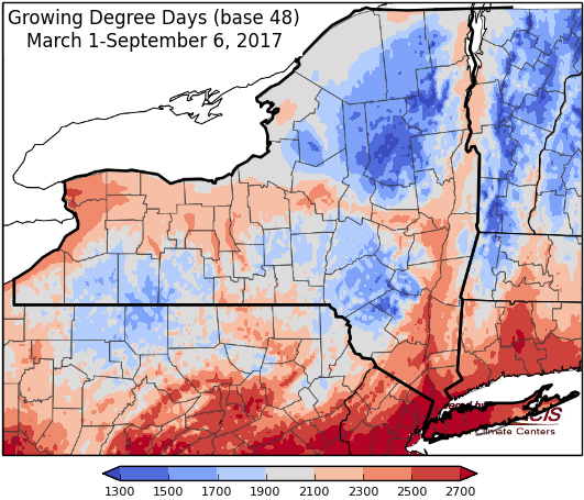
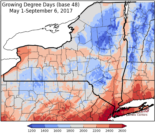
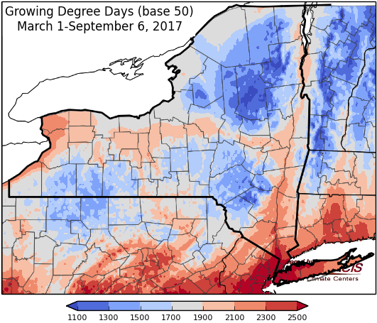
Last week temperatures ranged from 4 to 8 degrees below normal. Precipitation ranged from half an inch to over 2 inches for most of the state. Base 50 growing degree-days ranged from 30-90.

Cool temperatures & rainy conditions continue this week. We dry out over the weekend and temperatures warm up next week. Will be watching the remnants of Hurricane Irma.
Today temperatures continue to be cooler than normal with highs in 60’s and scattered. Conditions will be breezy with scattered showers and possibly a few thunderstorms. Overnight lows will be in the upper 40’s to low 50’s, isolated areas in the 30’s are possible.
Friday temperatures will be in the upper 50’s to mid 60’s, with scattered showers. Overnight temperatures will be in the 40’s.
Saturday will have clearing skies, but temperatures remain cool, ranging from the upper 50’s to upper 60’s. Overnight temperatures will be in the 40’s, with some areas dropping into the 30’s.
Sunday will by sunny and dry with highs in the mid 60’s to low 70’s. Overnight temperatures will be in the mid 40’s to low 50’s.
Monday’s highs will be in the mid 60’s and throughout the 70’s with sunny conditions. Lows will be in the low to mid 50’s.
Tuesday will have temperatures in the mid 60’s to mid 70’s. Lows will be in the upper 40’s to mid 50’s. Possible influx of moisture from the remnants of Hurricane Irma Tuesday evening into Wednesday.
Wednesday, temperatures will be in the mid 60’s to low 70’s with showers possible. Lows will be in the 50’s.
The seven-day precipitation amounts will range from ¼ ” to over 2”.
The 8-14 day outlook (Sept 14-20) favors near-normal temperatures for the state. The precipitation outlook favors below-normal precipitation.
Hurricane Irma forecast cone:
http://www.nhc.noaa.gov/refresh/graphics_at1+shtml/175630.shtml?cone#contents
Maps of 8-14 day outlooks:
http://www.cpc.ncep.noaa.gov/products/predictions/814day/index.php
National Weather Service watch/warnings map:
http://www.weather.gov/erh/
US Drought Monitor
http://droughtmonitor.unl.edu/Home.aspx
CLIMOD2 (NRCC data interface):
http://climodtest.nrcc.cornell.edu
