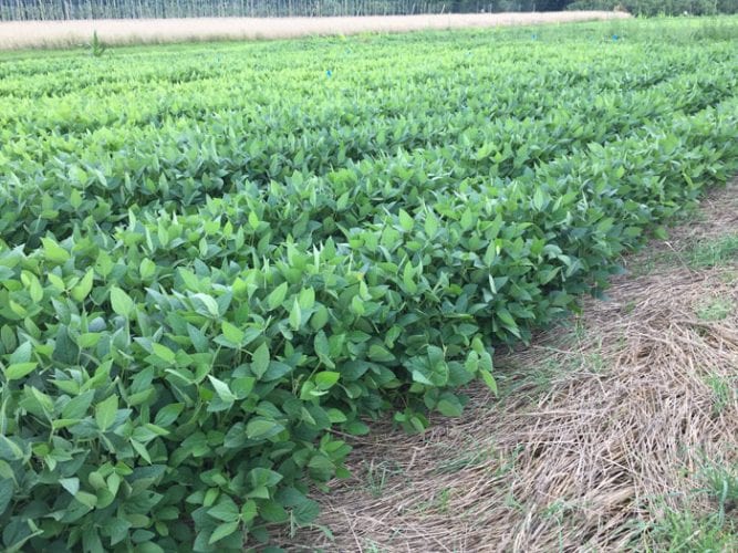
Soybean plants emerge through a mulch of rye cover crop. Photo credit: Matt Ryan
A new satellite mapping tool, called Operational Tillage Information System (OpTIS), that tracks trends in the adoption of soil health practices has been developed by New Hampshire-based Applied GeoSolutions.
OpTis “produces spatially comprehensive maps of crop residue cover and cover crops annually using information integrated from multiple earth-observing satellites. Accurate, timely, and spatially comprehensive information about the dynamic state of tillage practices and cover crops across large regions is valuable for several purposes. For example, regional and national agricultural offices use this information to evaluate and compare the effectiveness of conservation programs (as measured by the adoption of conservation tillage) across large regions ” (Source: optis.ags.io).