By Joseph Reigle
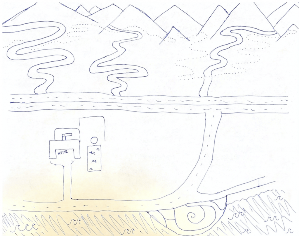
How do you depict a city? Because cities are by nature spatial, words are often insufficient. The experience of way-finding, identifying landmarks, or strolling aimlessly along a street can often be lost in a series of dry descriptions. On the other hand, city maps derived from satellite images can provide an accurate picture of the city. But these maps also lack the grounded subjective details, which at times can even contradict empirical representations. One creative method the Rome Workshop class has used to represent the spatial and experiential nature of the city is Cognitive Maps. This method comes from Kevin Lynch, who would ask people to sketch a town or neighborhood. The results are telling. The maps display what aspects of the city are most important to their authors, such as the landmarks, the edges, and the nodes of social interaction. The maps frame a narrative about how the author lives in and evaluates the city.
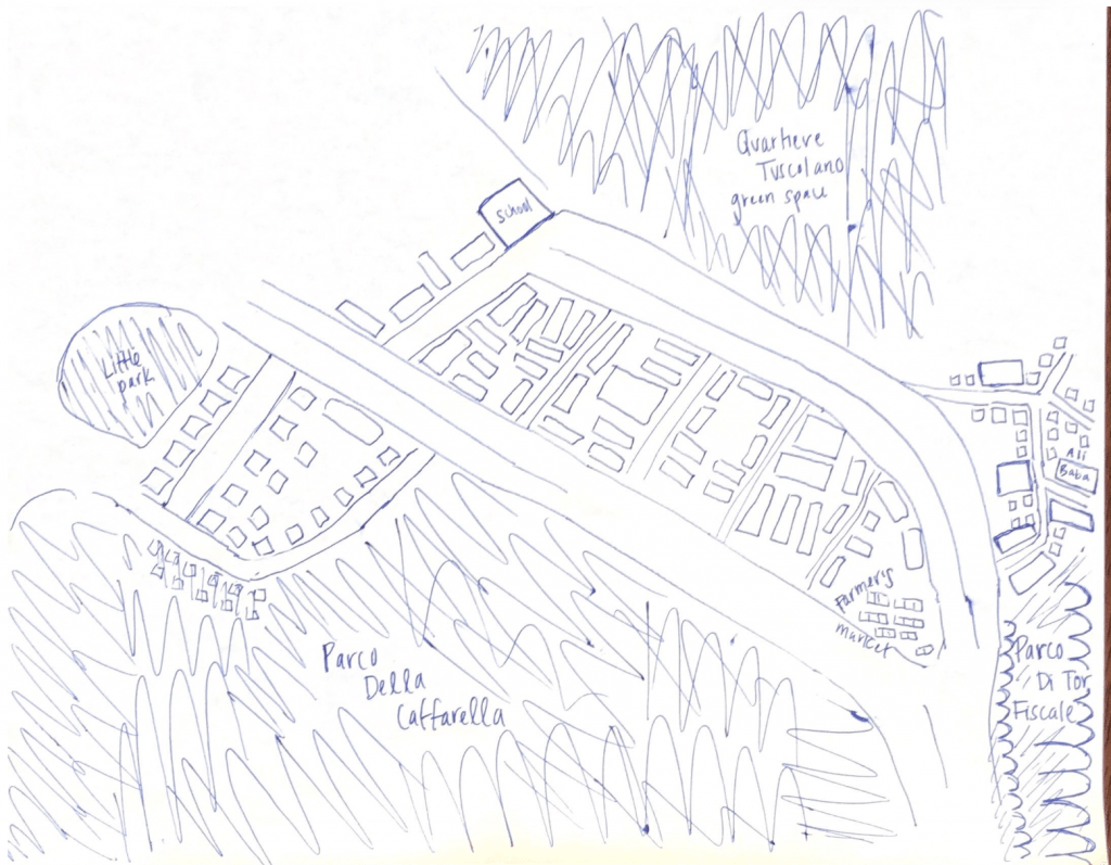
This year our Rome Workshop class drew cognitive maps of our hometowns as well the neighborhoods we are studying in Rome. This exercise allows us to observe the diverse locals from which we come from–Seongbukdong Seoul, southern California, the suburbs of Vermont, Bellaire Texas, Seattle, Manhattan, Brooklyn, and upstate New York. Inevitably our experience in our hometowns influences our perception of Rome. Different students emphasize different elements of their study-neighborhoods, Prenestino, and Colli Albani. Additionally, students drew their maps in different styles, some in finely detailed roads and blocks, others in more abstract conceptional lines and labels.
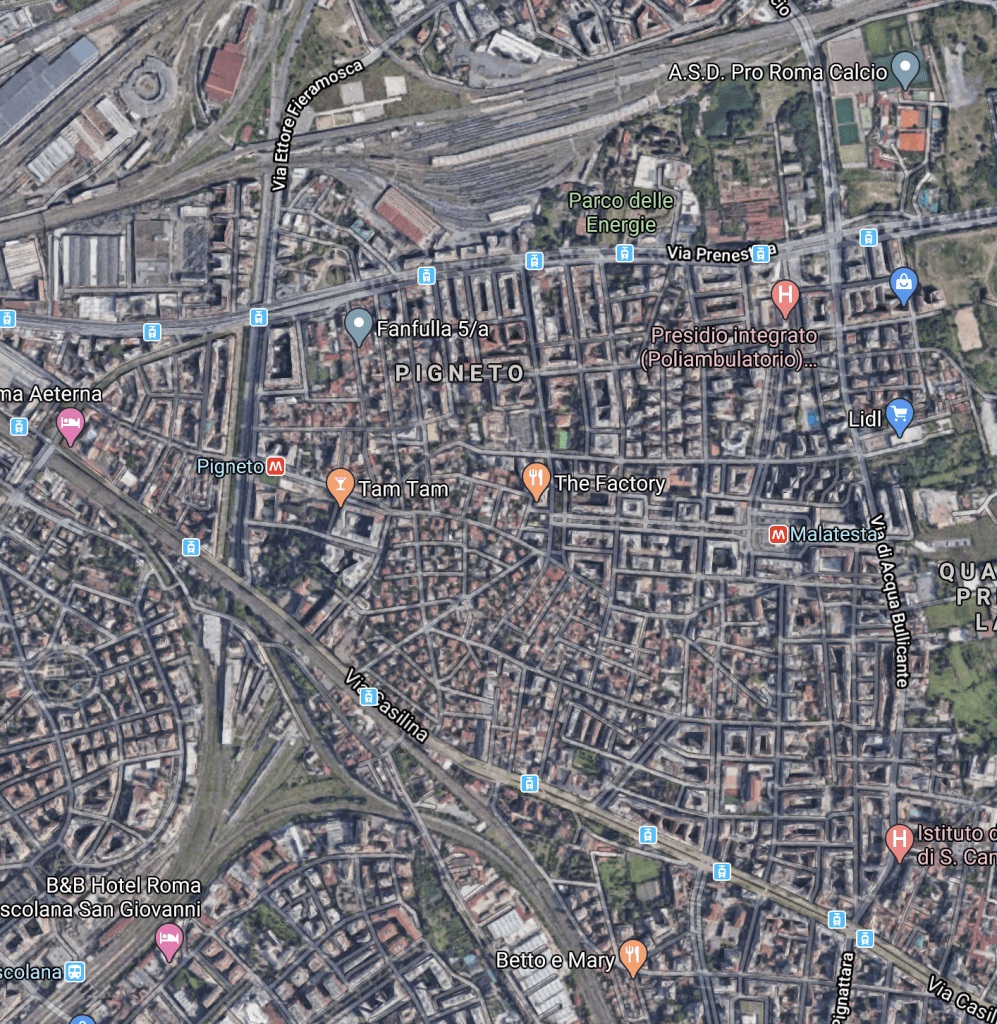
When you compare our maps to satellite images, you can see that our scale is inaccurate. However, these discrepancies may reveal the way parts of a city feel— large and imposing, narrow, dense, sparse –more dramatically than an image from Google Maps.
Our Hometowns


Prenestino


Colli Albani


