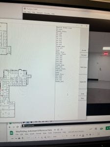
This week, I started a new task in which I watch first-person videos of participants completing seven wayfinding tasks through HEB and MVR. I track their location on a map and the time they were at the location, so we can create a data file of their trajectory, and later on, we will be able to combine it with uncertainty measures. This will allow us to see which environmental features contribute to more uncertainty during navigation. I also keep track of when and where participants look at signs. I definitely feel like an expert on MVR and HEB after looking at these maps for so many hours.


