
NOAA Northeast Regional Climate Center, Cornell University
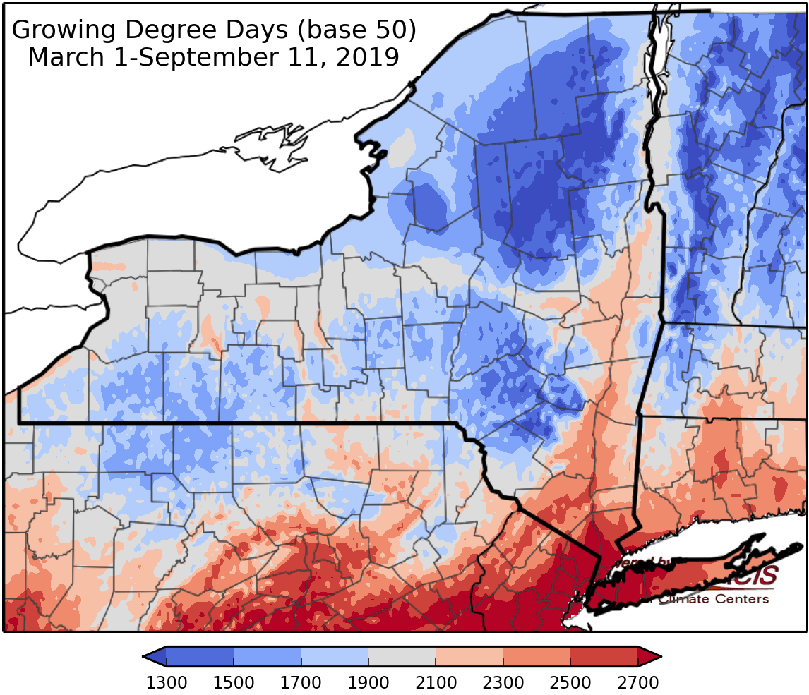
Last week temperatures were near normal to 6 degrees below normal. Precipitation has ranged from a trace to 2 inches. Base 50 growing degree-days ranged from 20 to 100.


Above-normal temperatures this week!
Today will be cooler & cloudy with scattered showers and thunderstorms and temperatures in the 60s and low 70s. Overnight lows will be in the 40s to mid 50s.
Friday temperatures will be in the 60s to mid 70s with breezy conditions. Overnight temperatures will be in the mid 40s to upper 50s with showers and thunderstorms; locally heavy rainfall is possible.
Saturday temperatures will range from the 60s to 70s with showers and thunderstorms ending from west to east by afternoon/evening. Overnight temperatures will be in the 50s.
Sunday highs will be in the mid 70s to low 80s with mostly clear conditions; northern NY could have a few showers. Overnight temperatures will be in the 50s.
Monday temperatures will be in the mid 70s to low 80s. Overnight temperatures will be in the 50s
Tuesday highs will be in the mid 70s to low 80s. Overnight temperatures will be in the 50s.
Wednesday highs will be in the mid 70s to low 80s. Overnight temperatures will be in the 50s.
The seven-day precipitation amounts will range from a trace one inch.
The 8-14 day outlook (September 19-25) favors above-normal temperatures with high probability and slightly favors above-normal precipitation for most of the state.
Maps of 8-14 day outlooks:
http://www.cpc.ncep.noaa.gov/products/predictions/814day/index.php
National Weather Service watch/warnings map:
http://www.weather.gov/erh/
US Drought Monitor
http://droughtmonitor.unl.edu/Home.aspx
Drought Impact Reporter:
https://droughtreporter.unl.edu/map/
CLIMOD2 (NRCC data interface):
http://climodtest.nrcc.cornell.edu
