By Jennifer Minner
During Spring semester 2015, I visited the archives of the World’s Fair Corporation, Inc. The New York Public Library (NYPL) Manuscripts and Archives Division holds the massive archive of information about the planning, construction, and demolition of the 1964-65 world’s fair. The purpose of my visit was twofold. First, I wanted to look up building permits for the fair pavilions to see if we could easily identify building heights for 3D modeling. Second and more generally, I am interested in the fair as a cultural landscape and how it was produced. With this visit, I gained many insights into the second arena, but my first mission was thwarted. The following is a brief account of that adventure.
The visit took some preparation with the help of an staff archivist. One must schedule a visit to the archives in advance ad this includes filling out a form that includes stating a research purpose and providing references. The archivists I corresponded with were very helpful. They asked me to make a plan as to which of the 1,523 archival boxes I would like to pull first. I scanned through online lists of the contents of boxes on the NYPL Archives and Manuscripts website and selected five.
It is one thing to read that there are 1,272 linear feet of records, but entirely another experience to dig through the boxes. It is at once exhilarating and sobering, often exciting and sometimes tedious. The first couple of boxes that I examined consisted of permit records for a couple of fair pavilions. I was intrigued to find large blueprints relating to the pavilions and permits. For instance with the Indonesia Pavilion, I found a large blueprint that was still stapled together. Concerned, I asked an archivist whether I could examine the plan. She laughed and carefully removed the staples, commenting that I must be the first researcher who had requested to see it. It felt a bit thrilling to be the first since fair officials to examine the plans! I was hoping for an exterior elevation to help in 3D modeling, but instead I found an interior plan that showed the location of a cocktail lounge and restrooms in the pavilion.
I also examined building permits for the Indonesia Pavilion, as well as a few others and found that the building permit form did not list building height. Although it did not ask for this information, I was surprised at the amount of detail the building permits required. It had information about health permits for restaurants and liquor permits for cocktails, but I could not find any record of the actual building height.
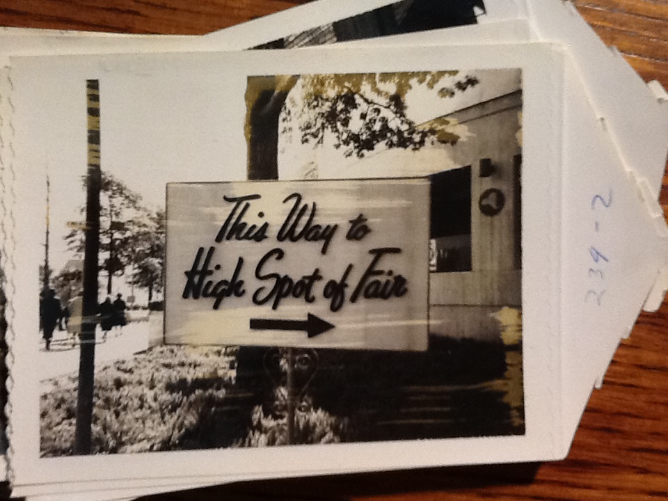
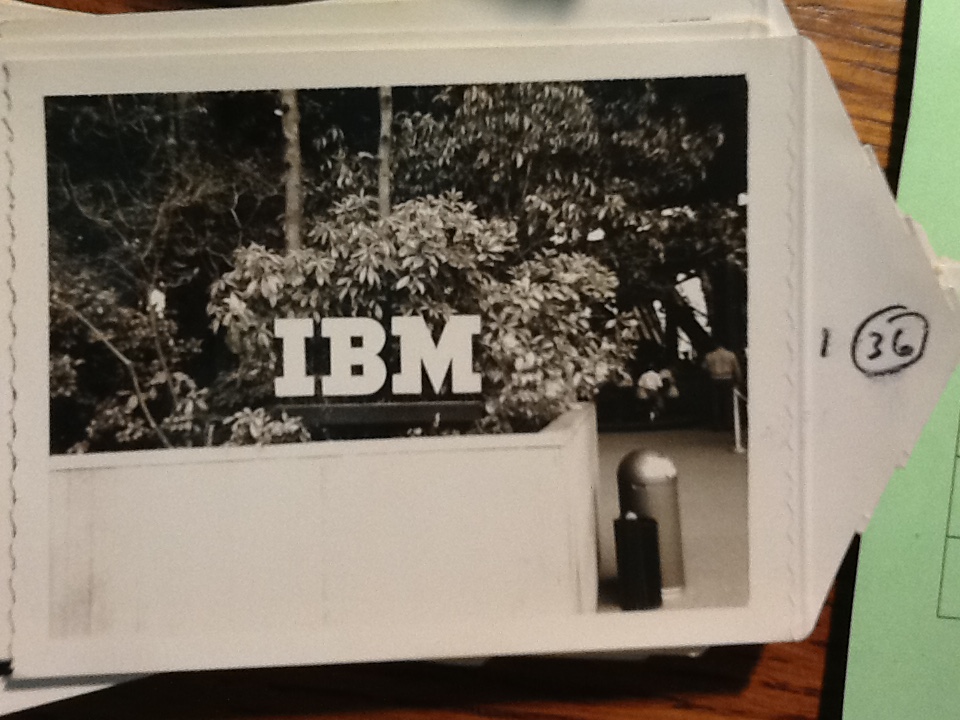
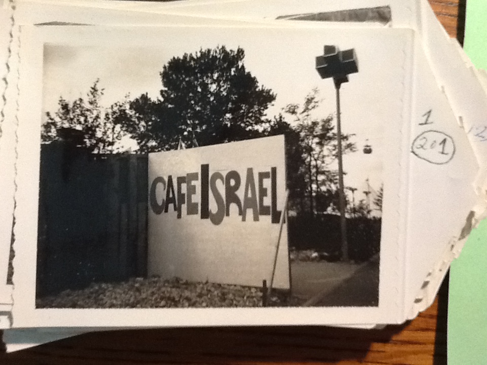
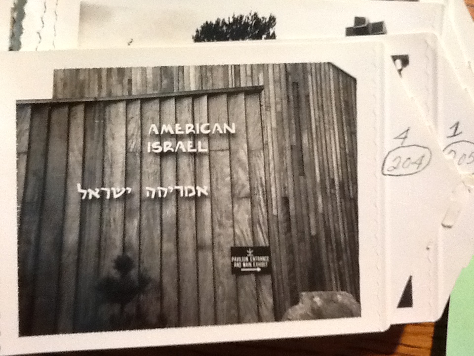
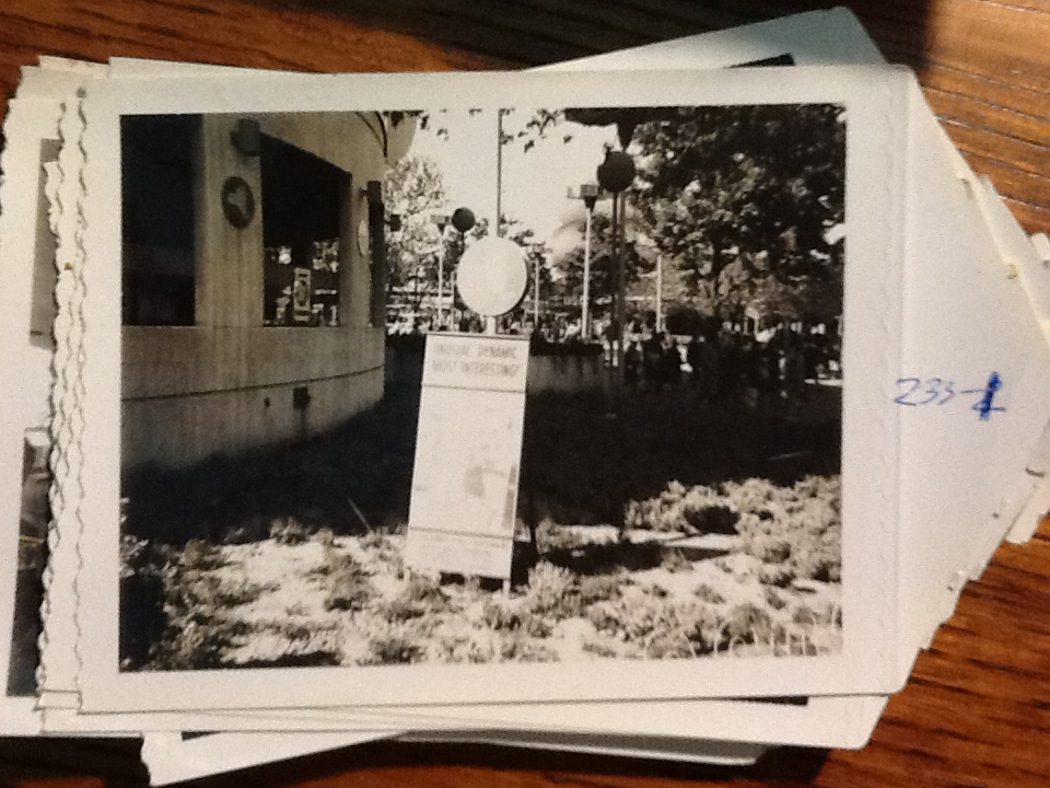
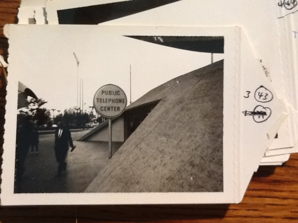
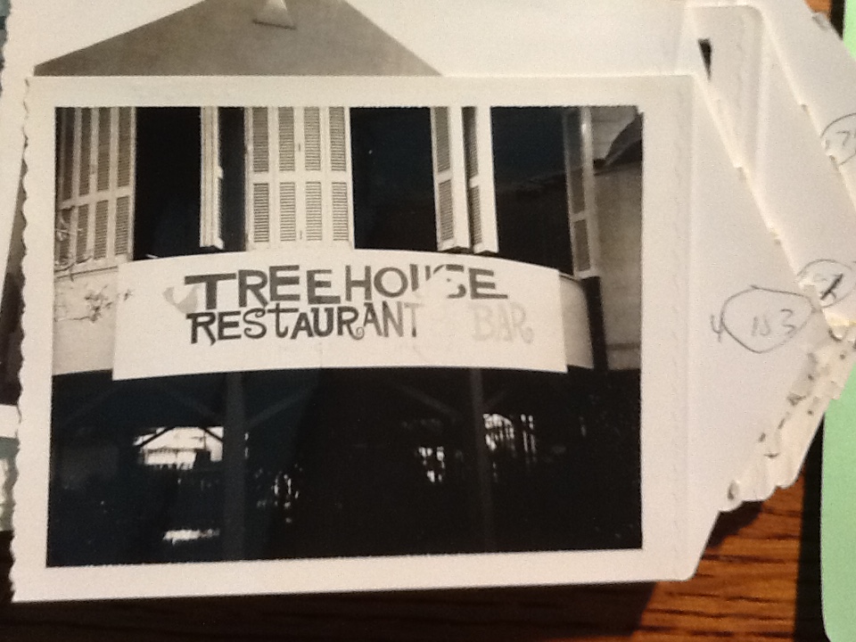
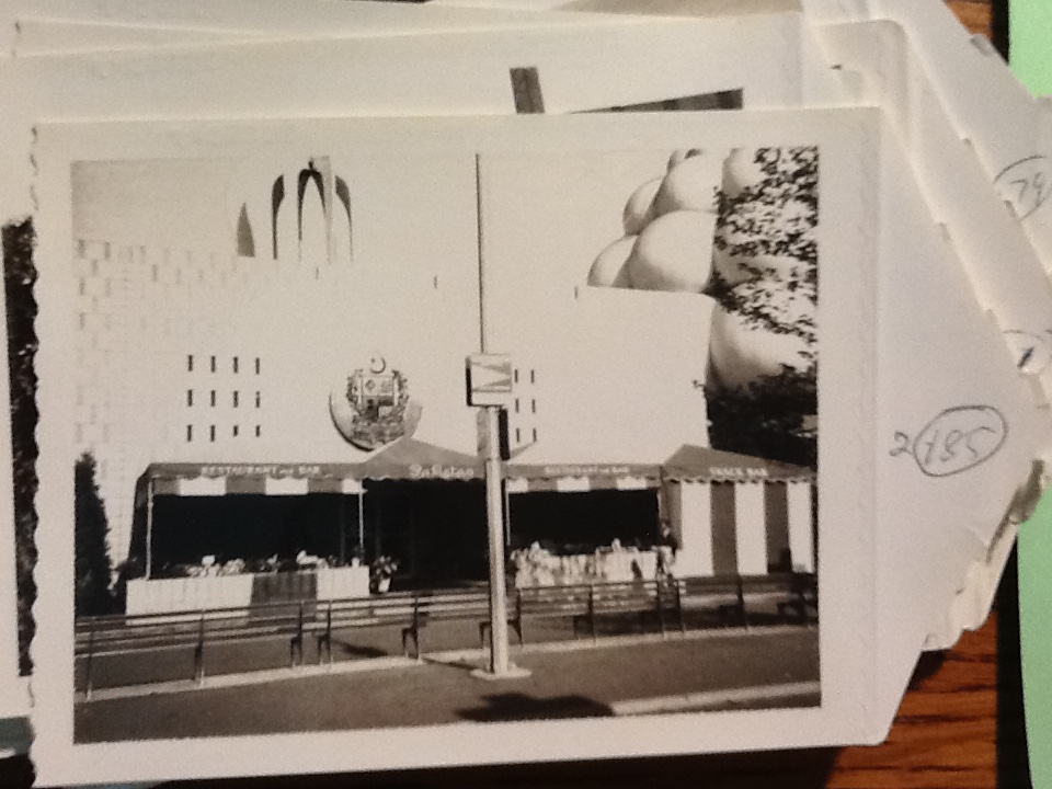
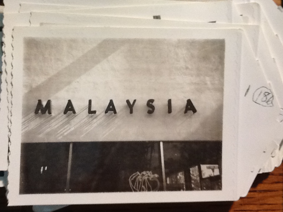
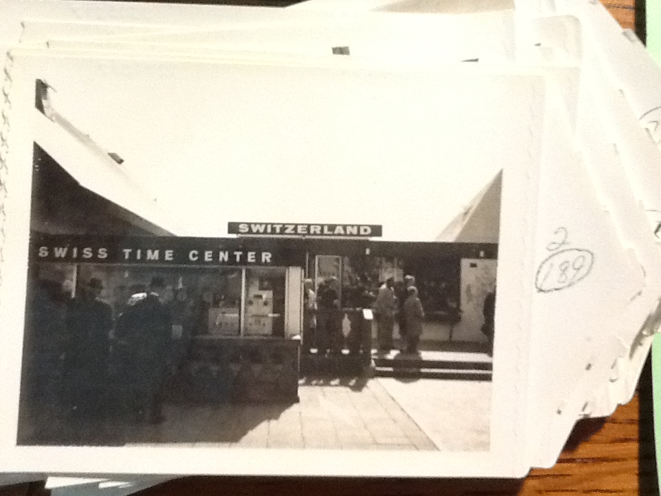
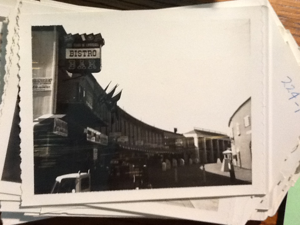
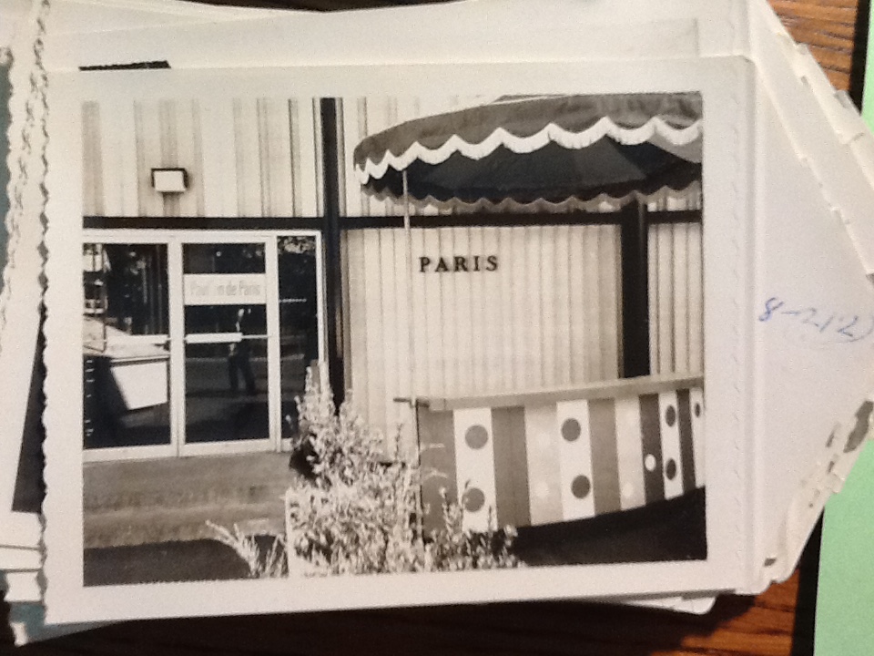
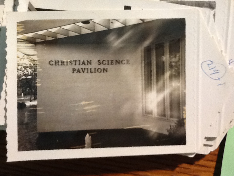
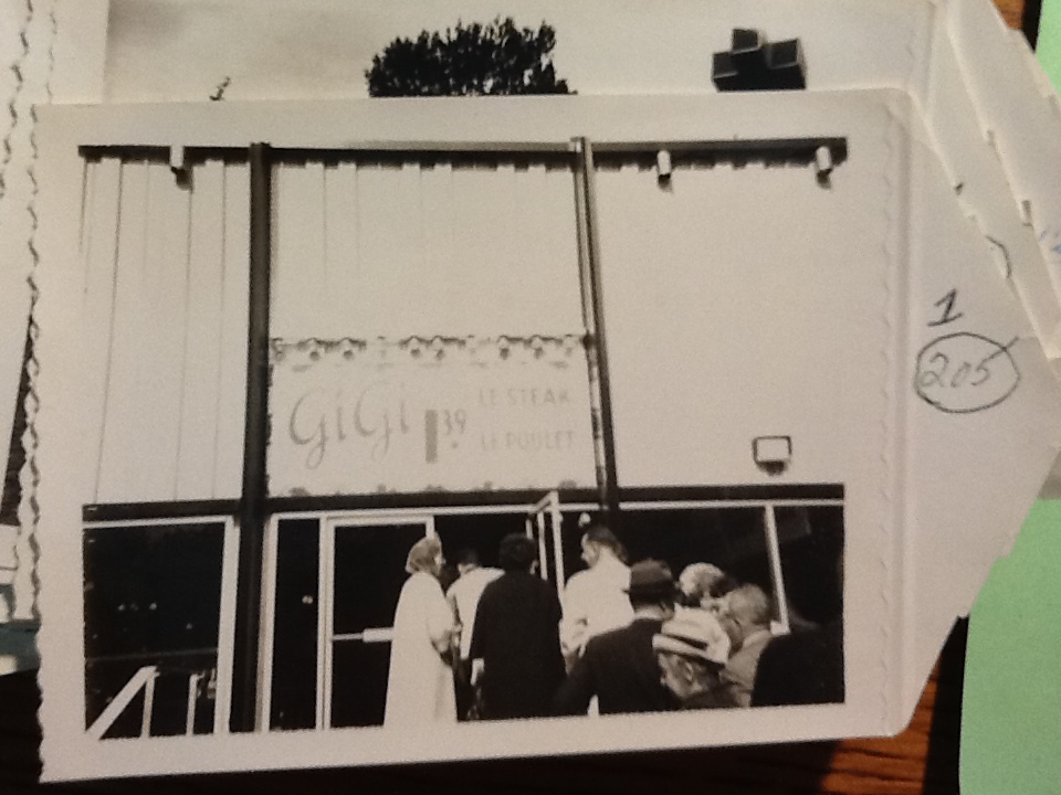
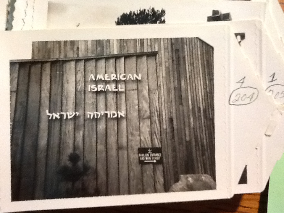
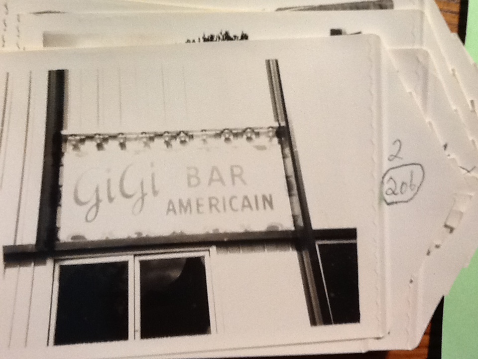
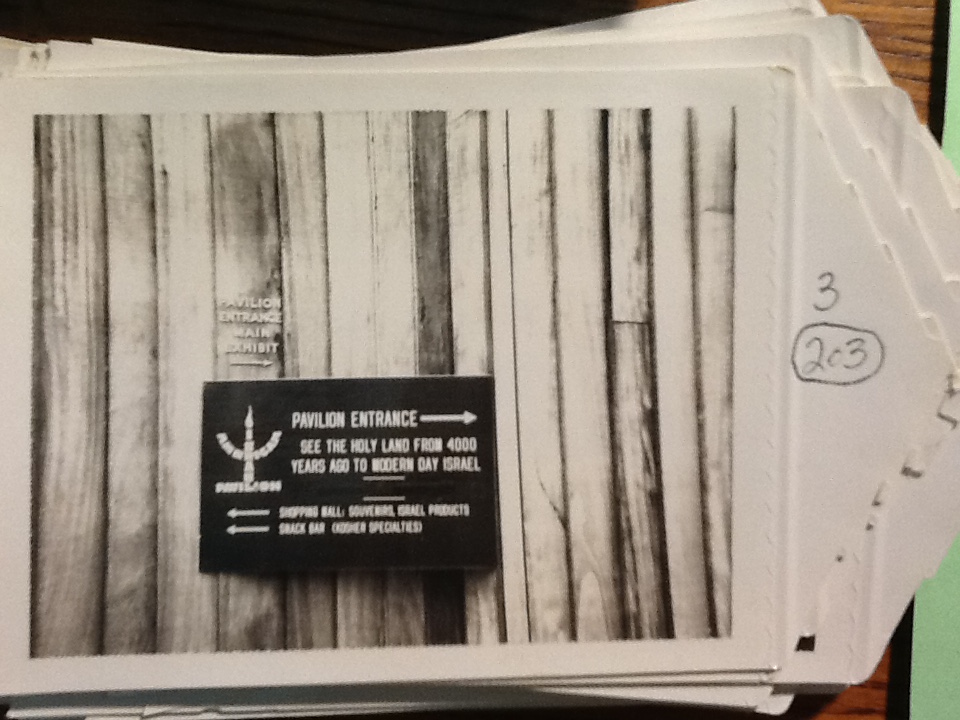
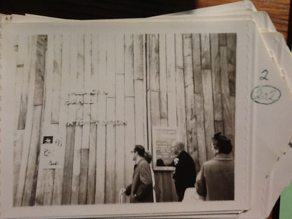
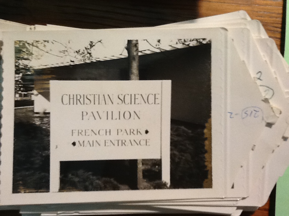
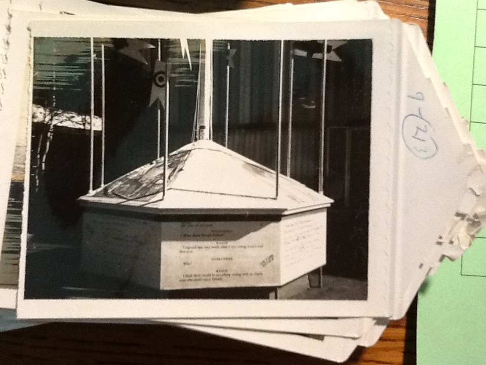
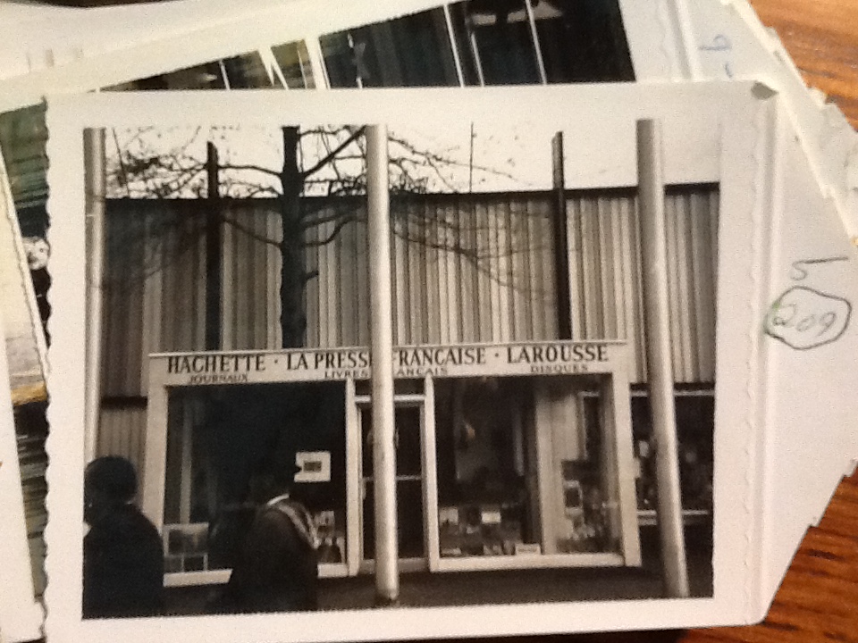
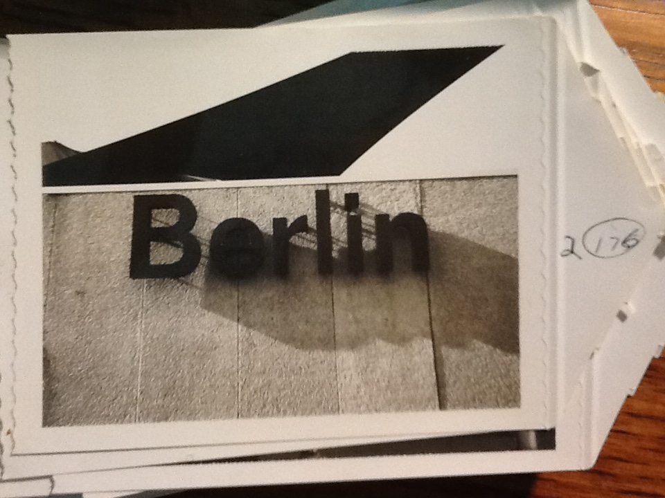
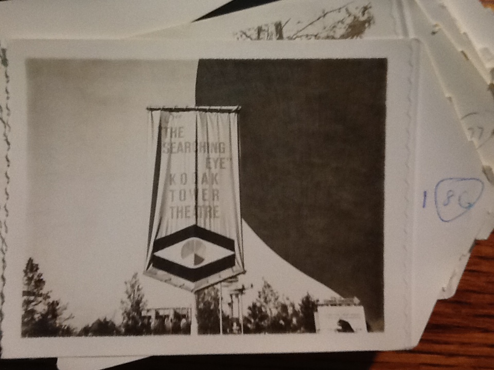
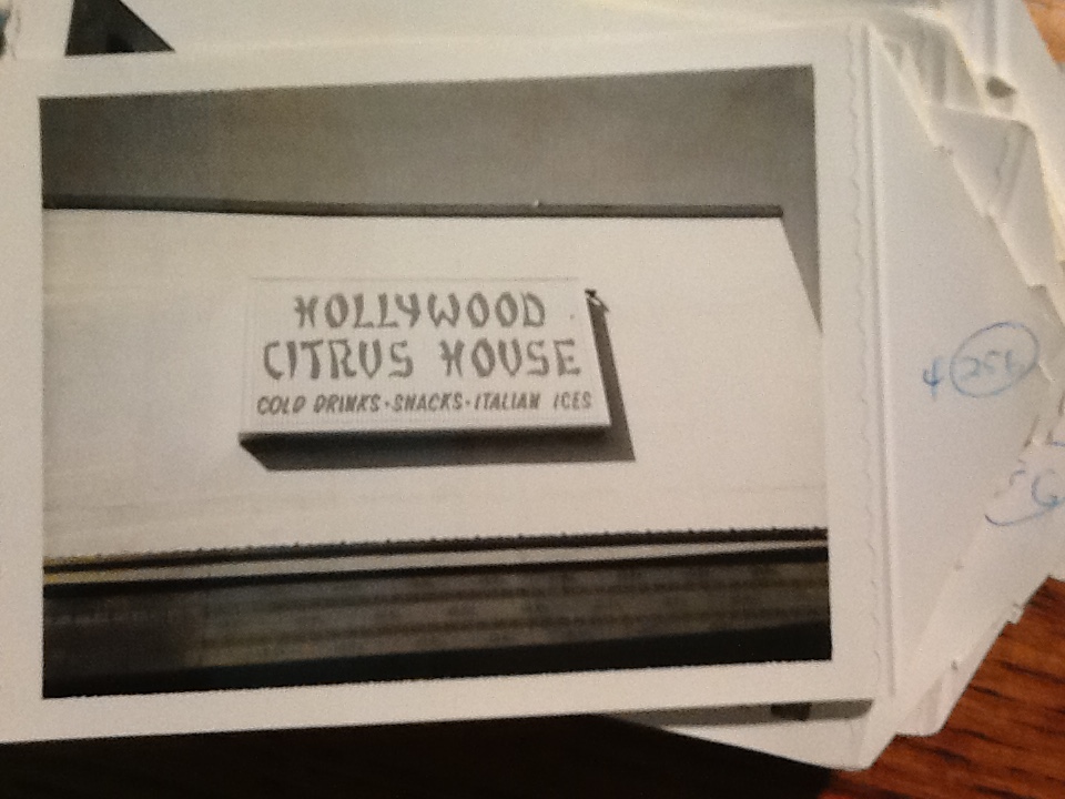
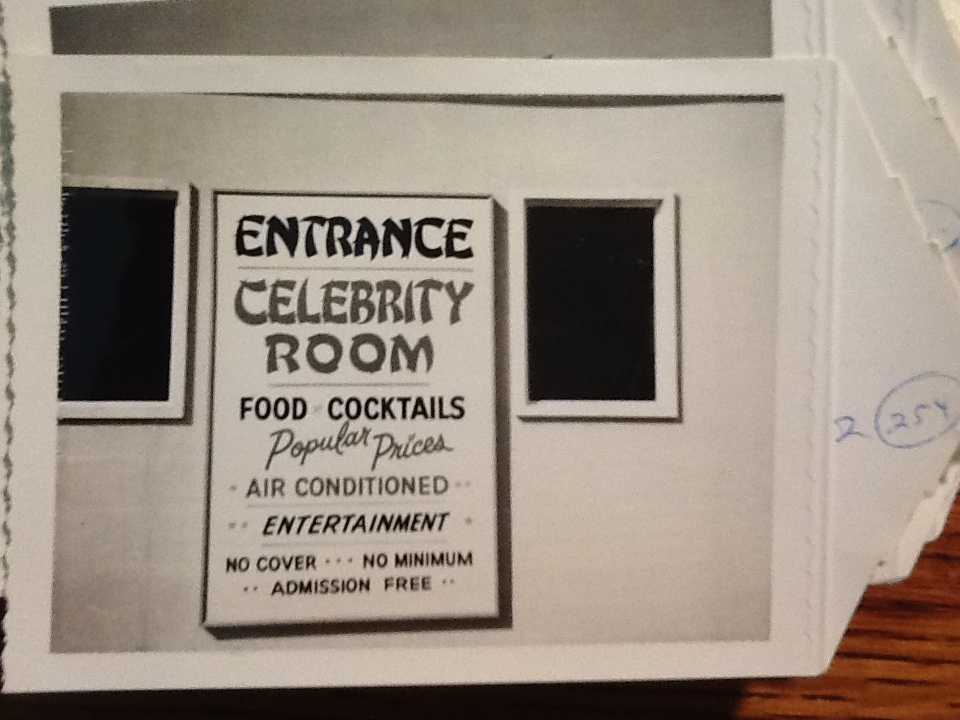
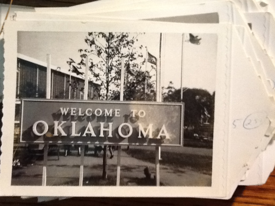
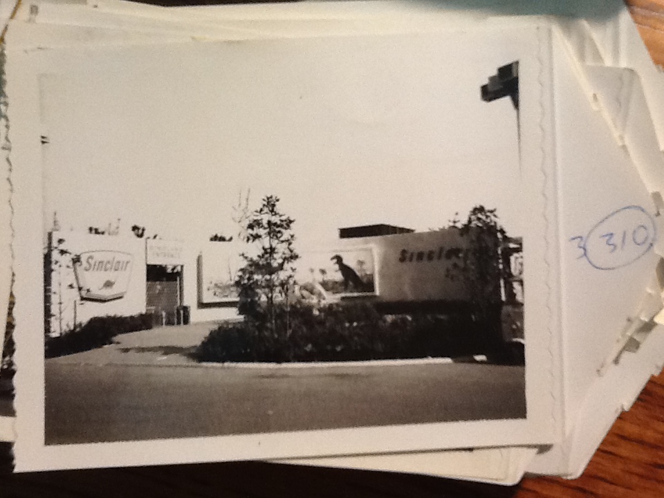
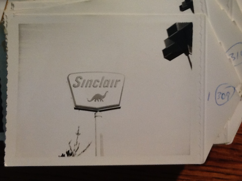
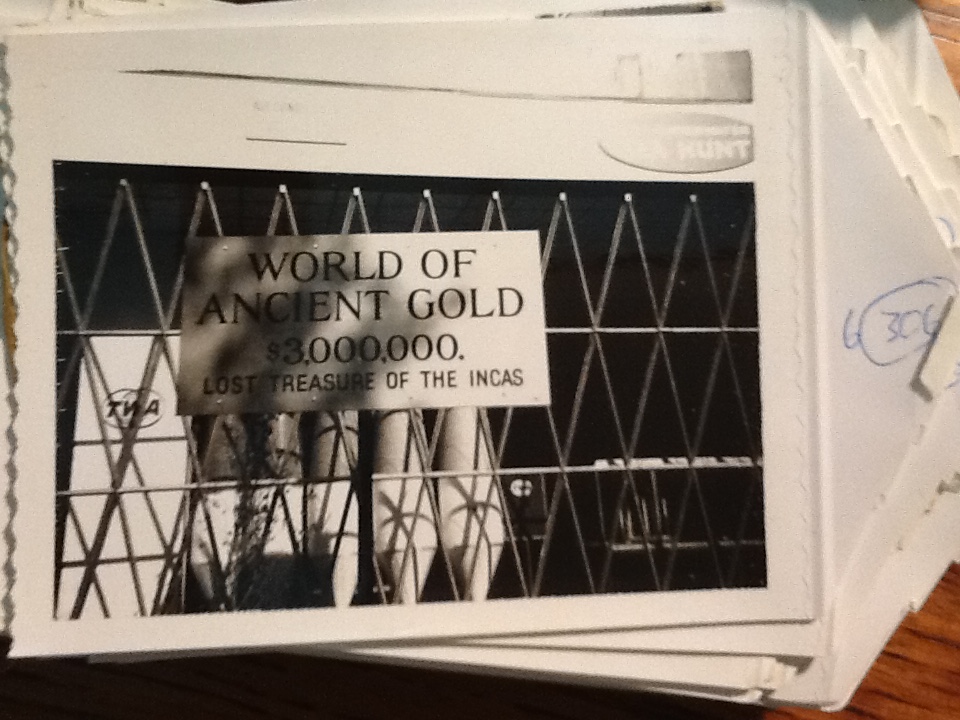
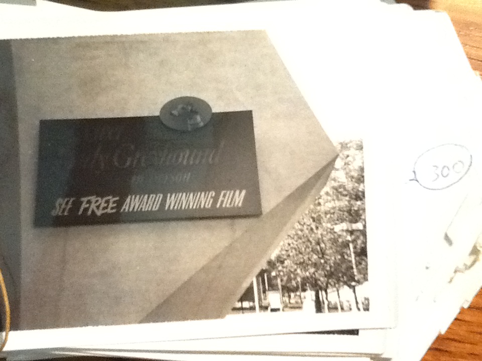
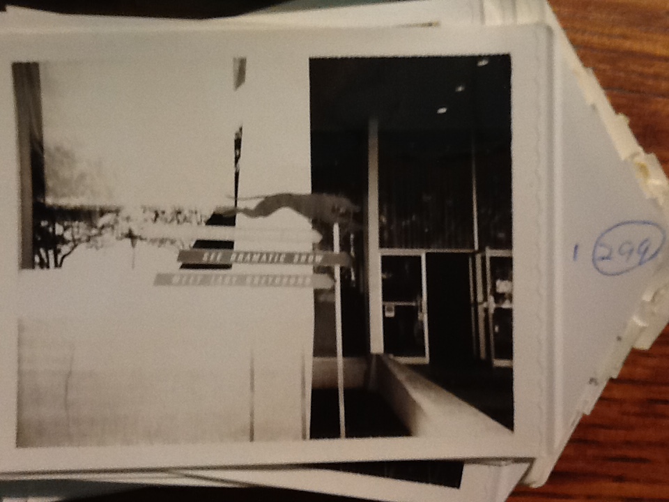
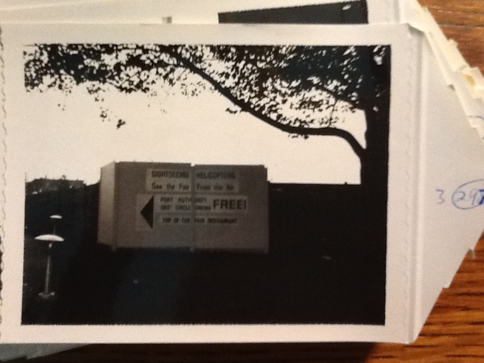
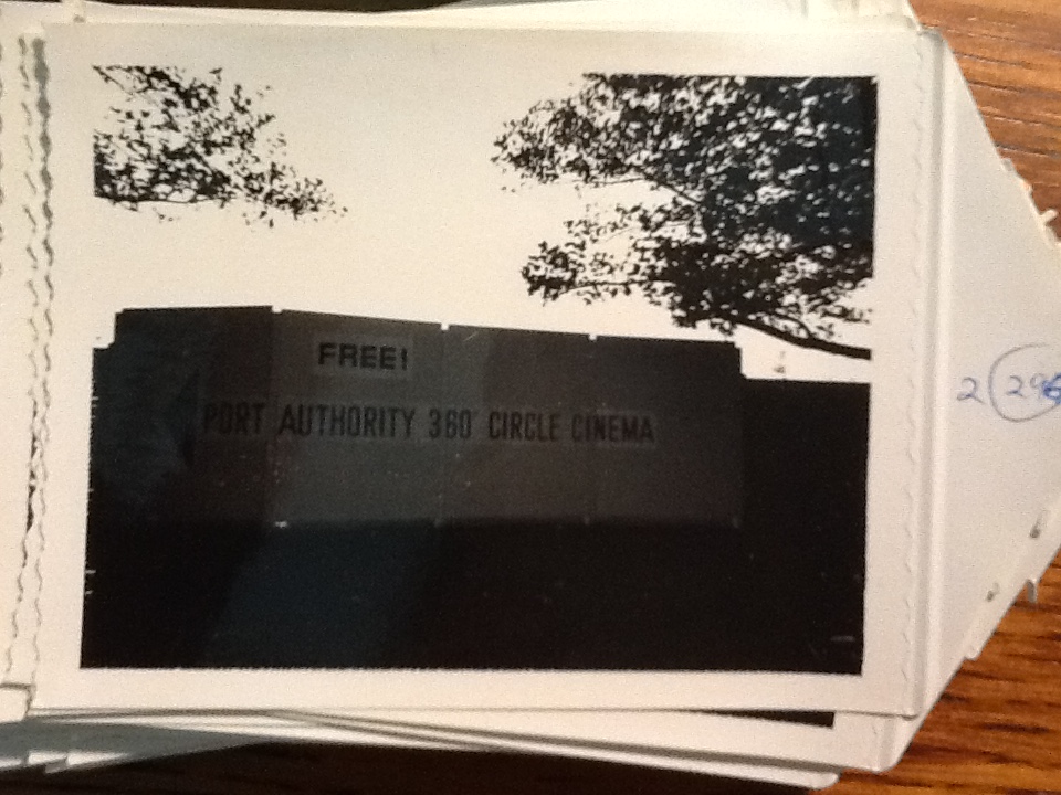
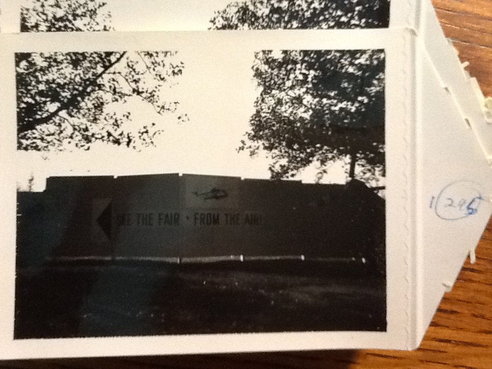
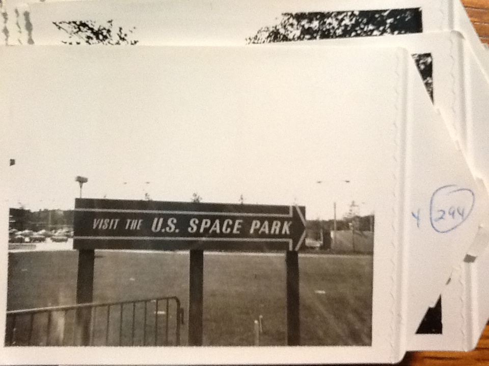
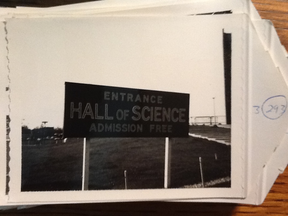
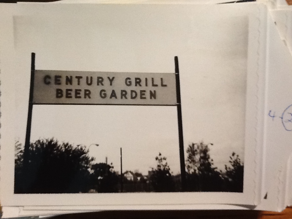
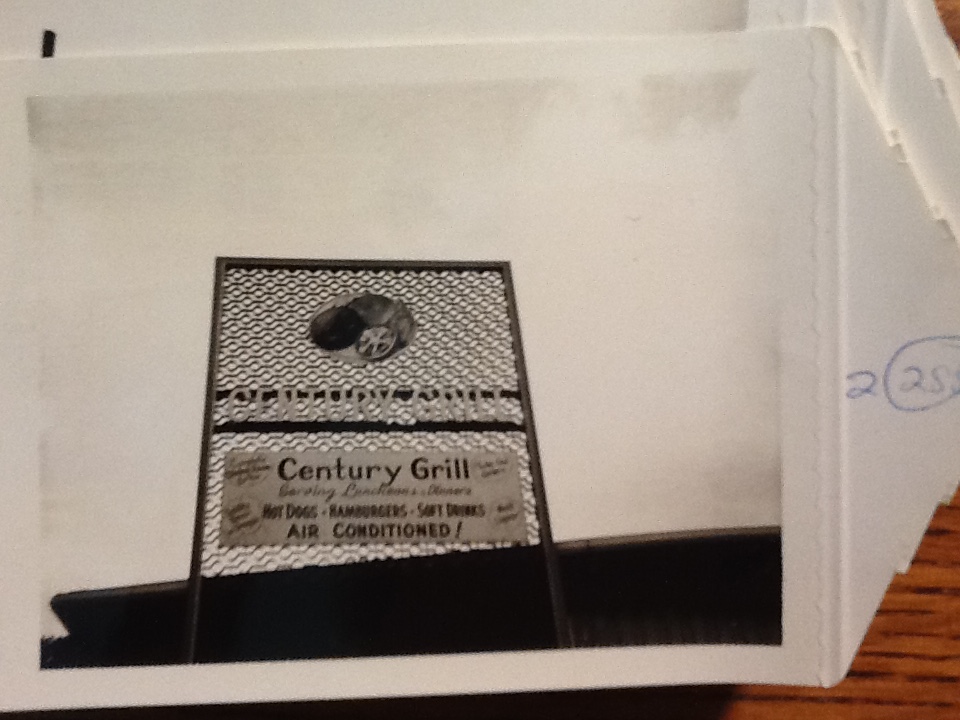
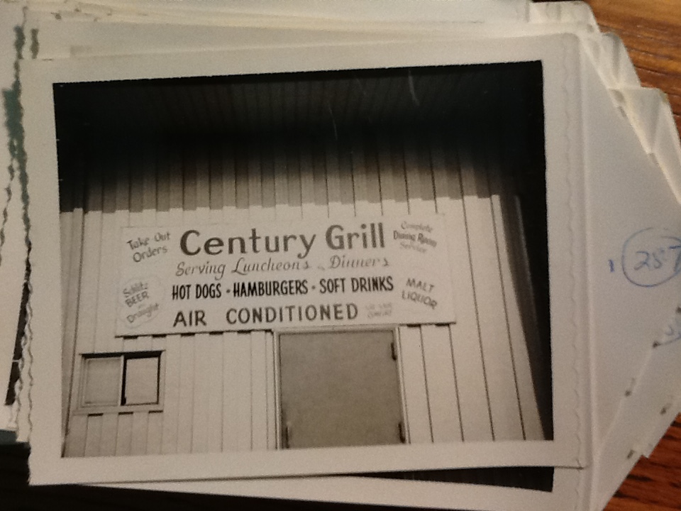
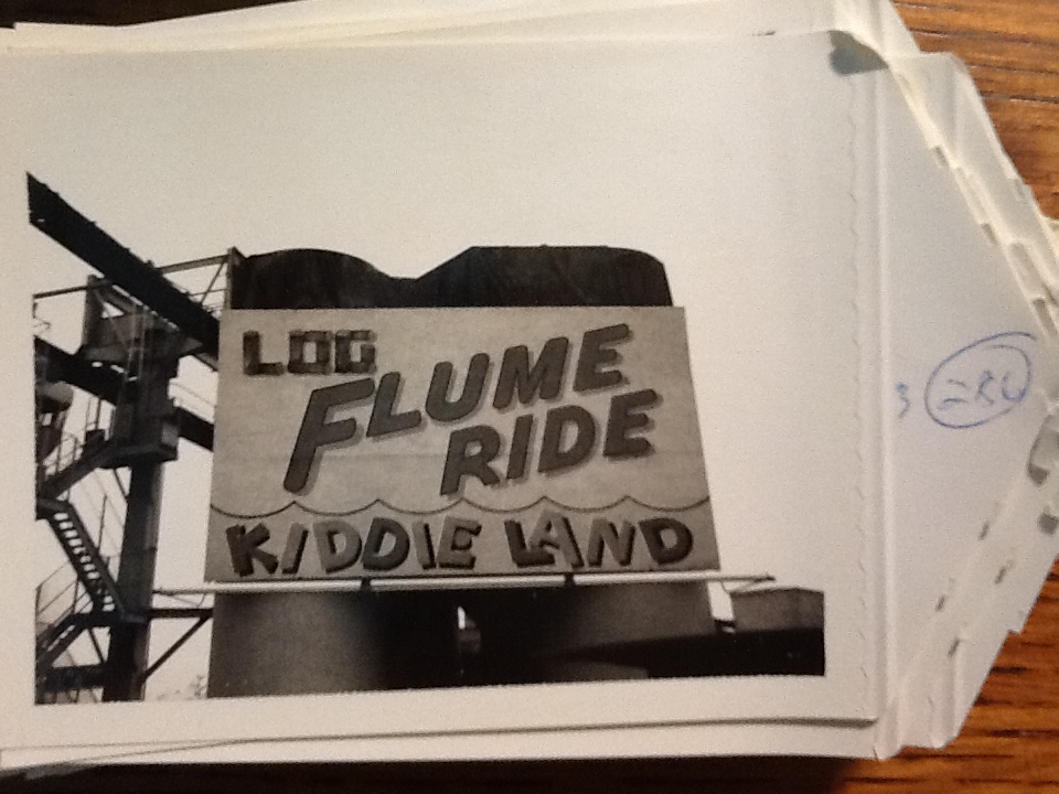
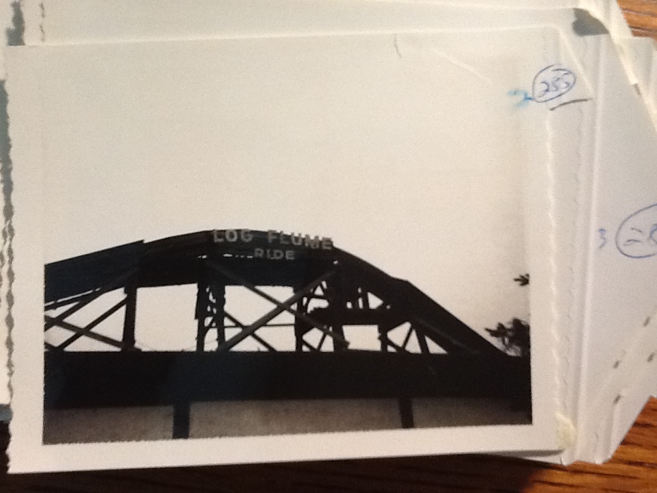
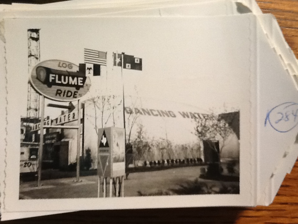
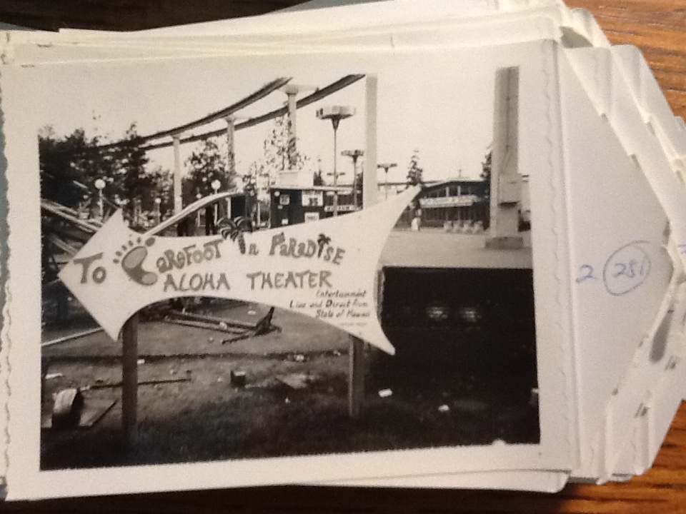
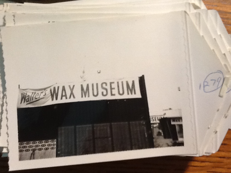
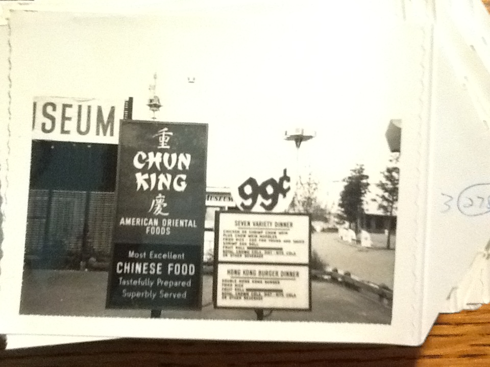
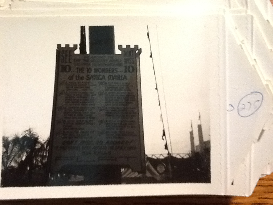
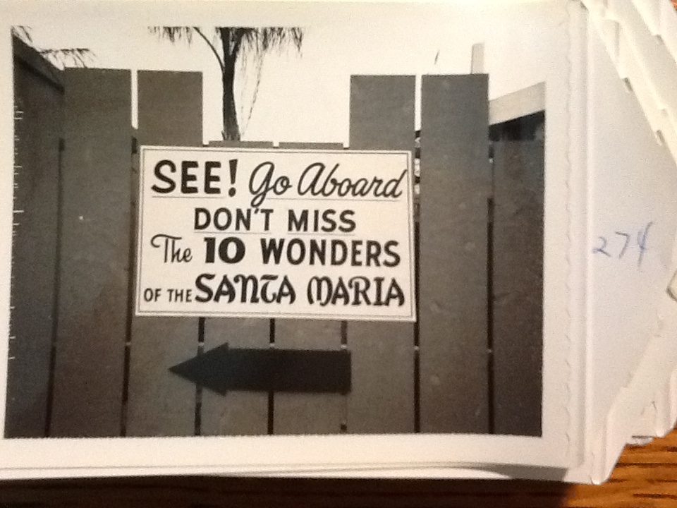
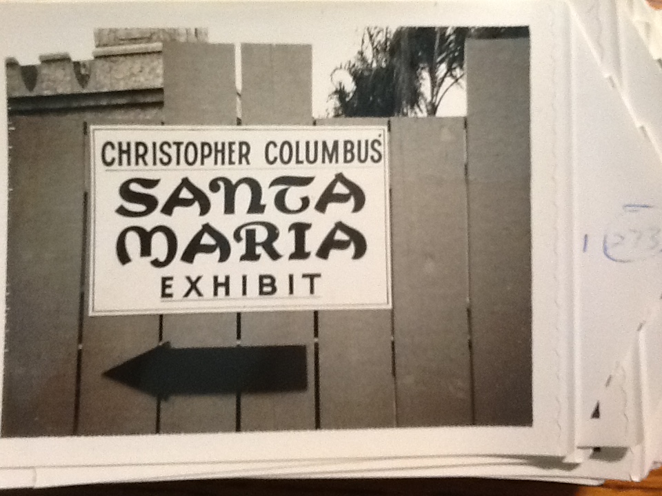
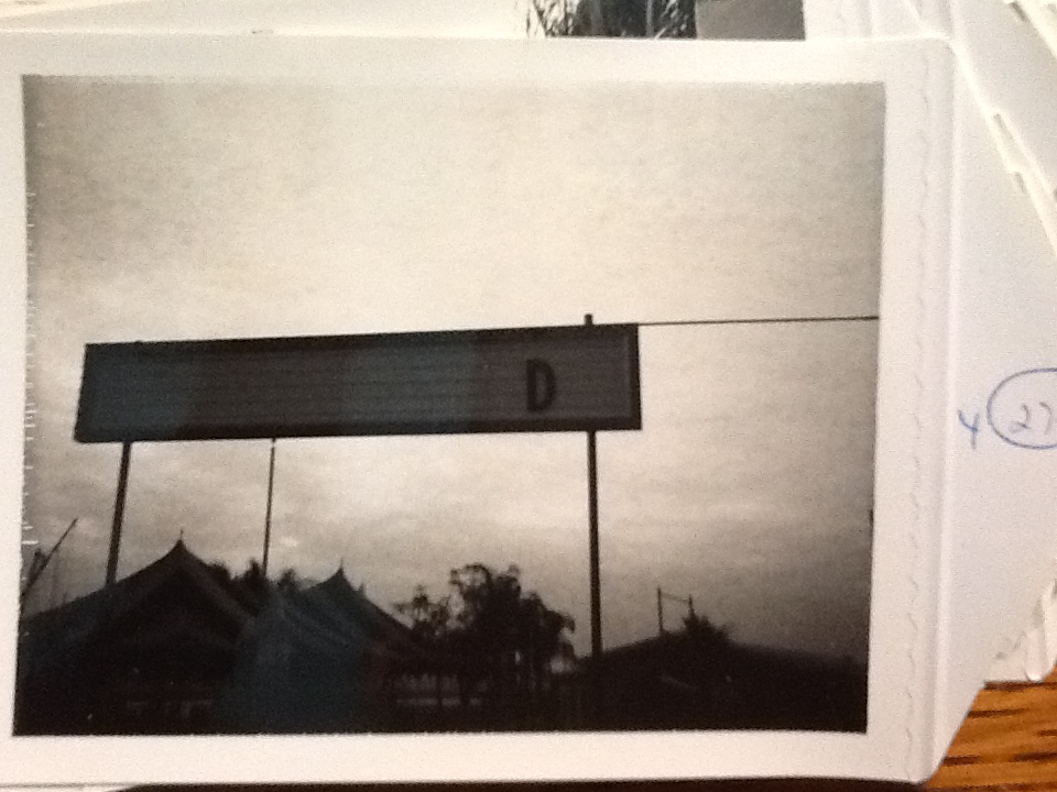
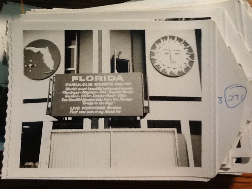
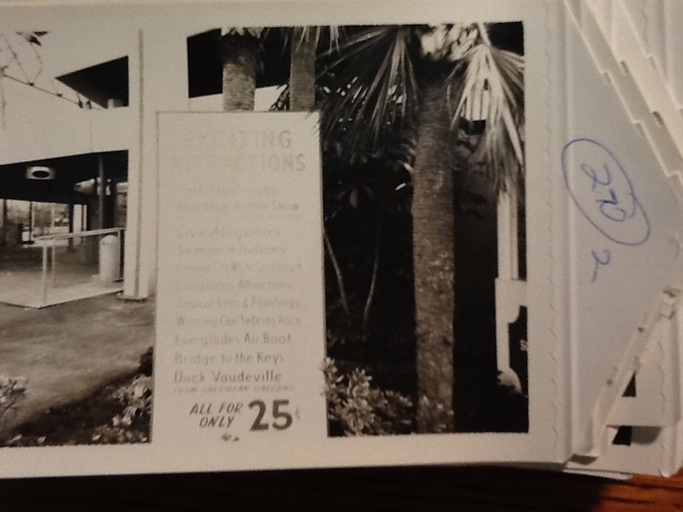
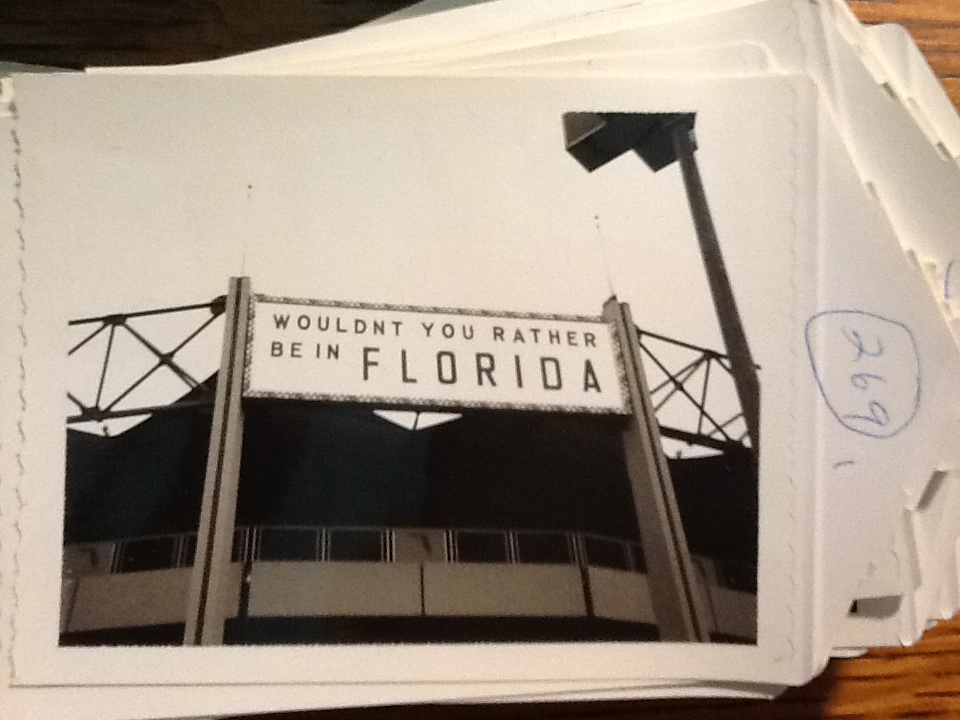
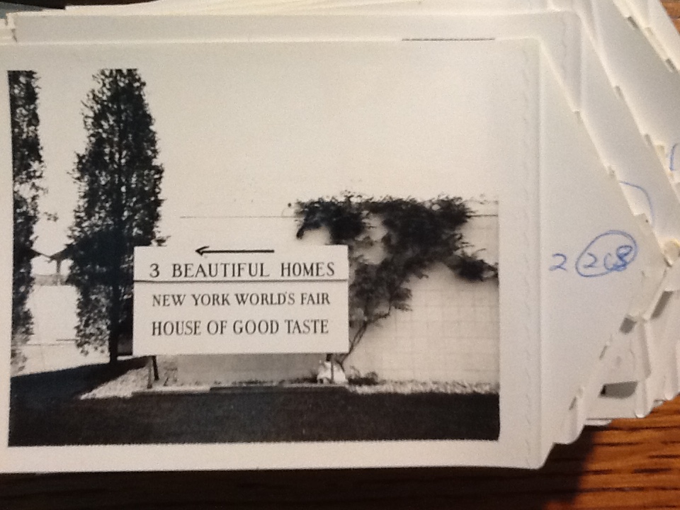
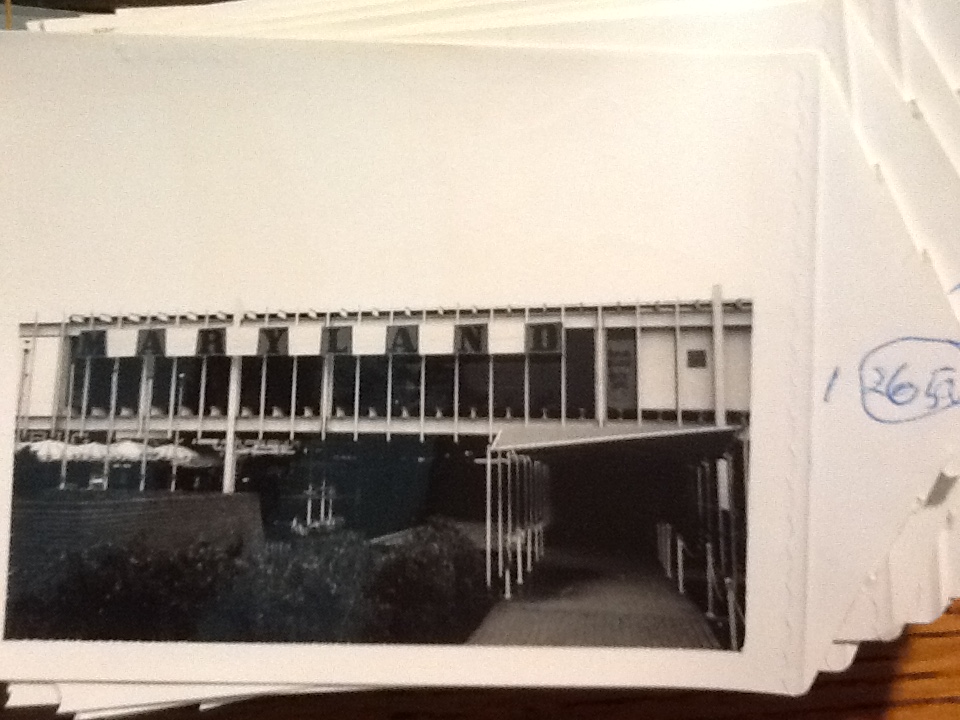
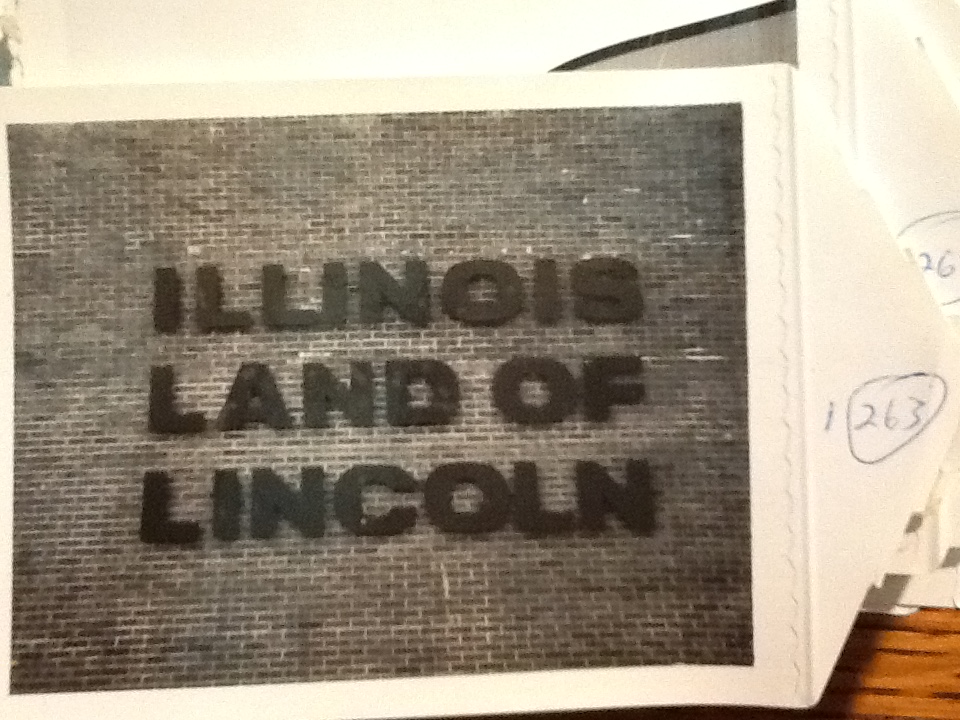
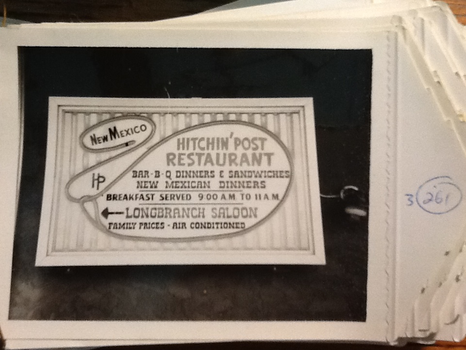
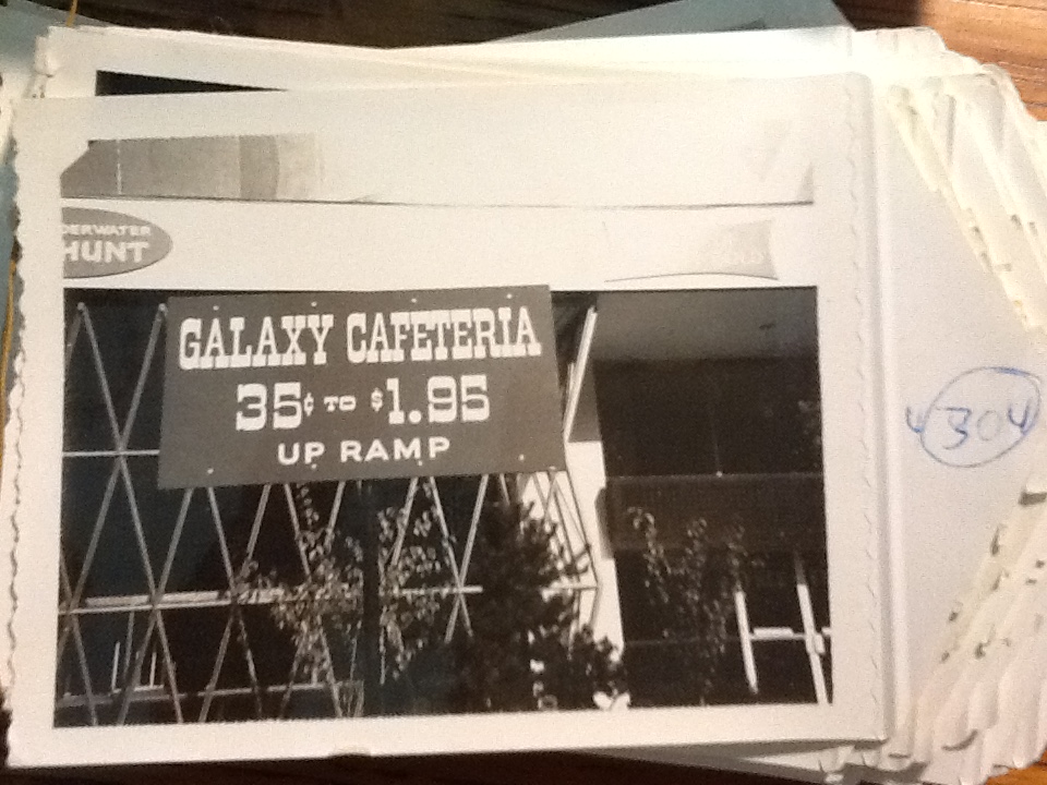
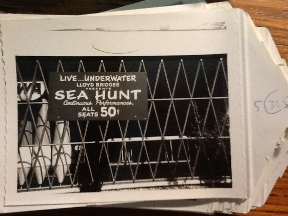
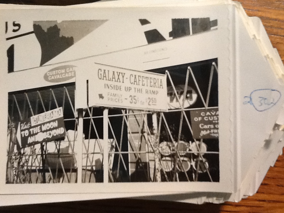
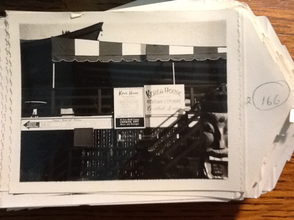
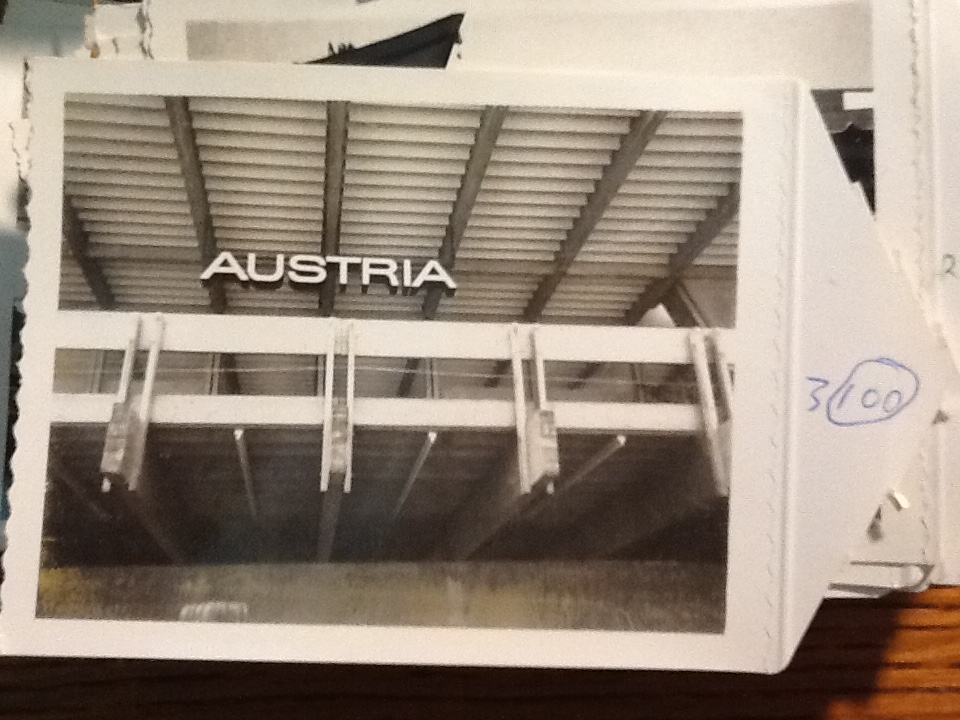
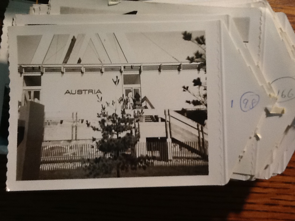
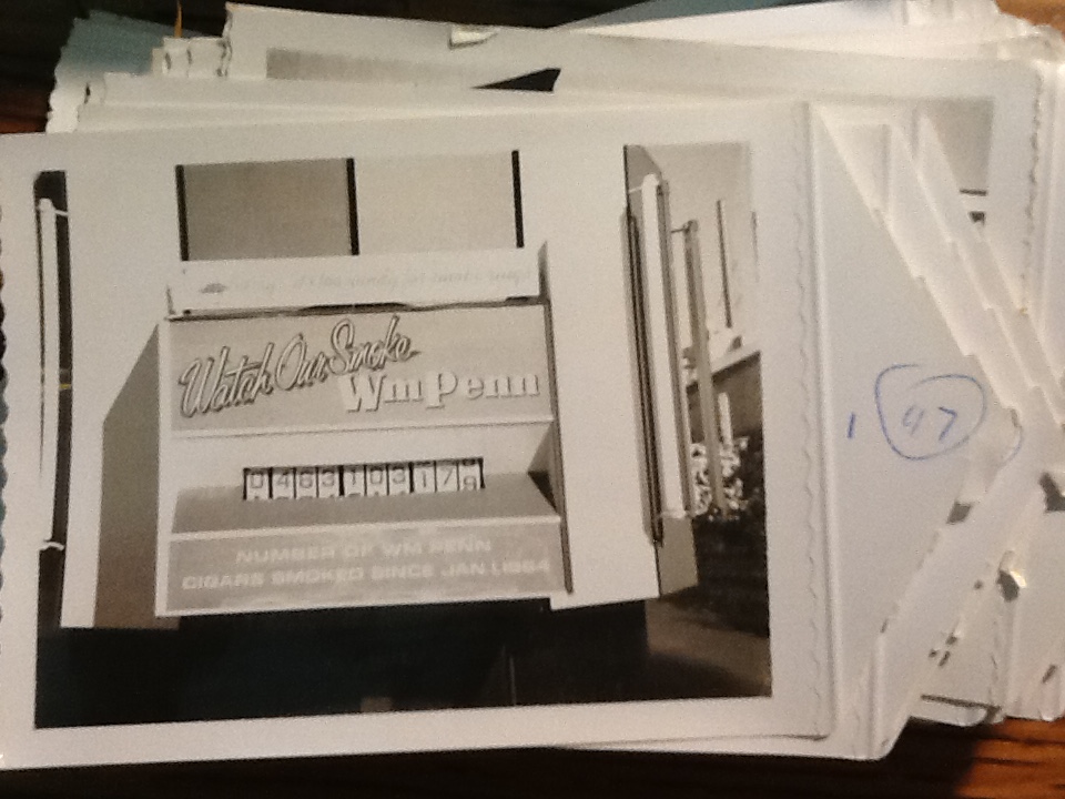
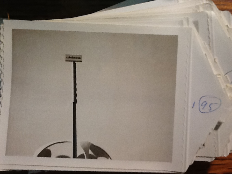
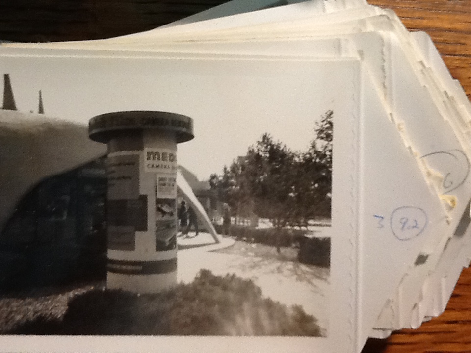
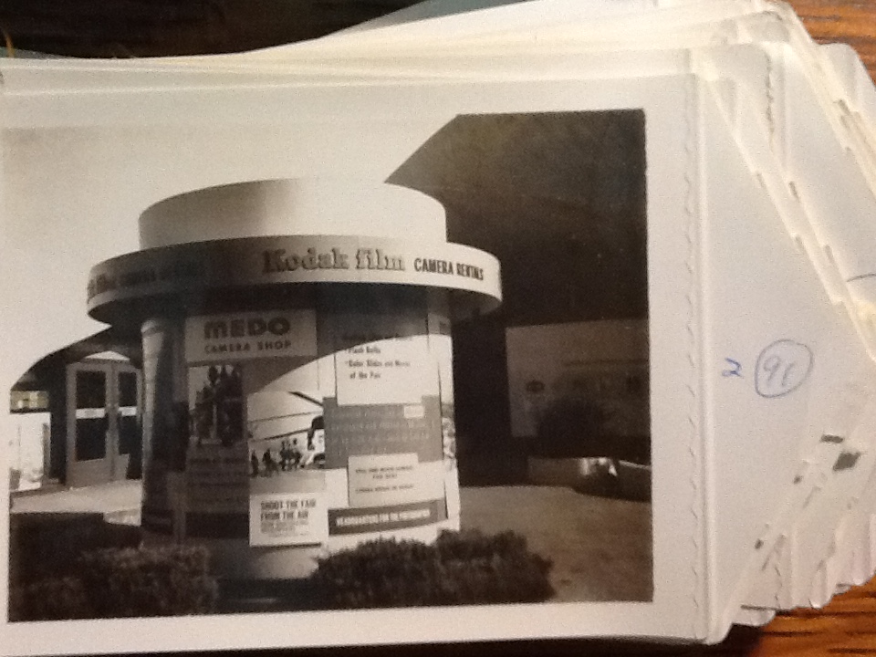
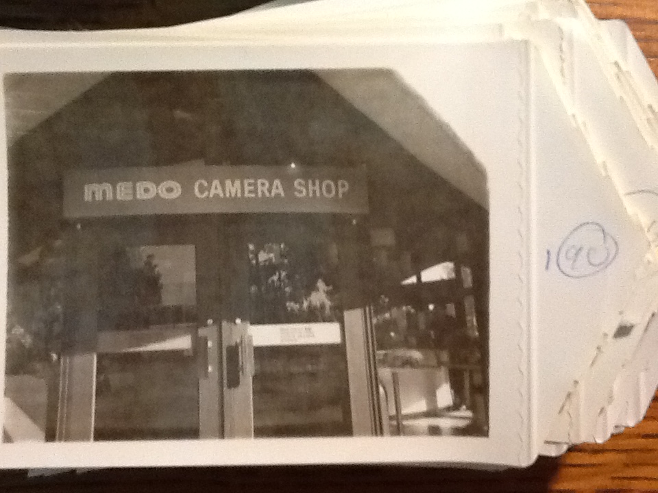
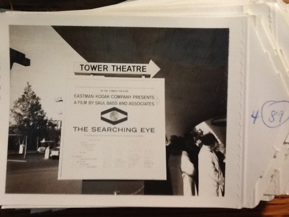
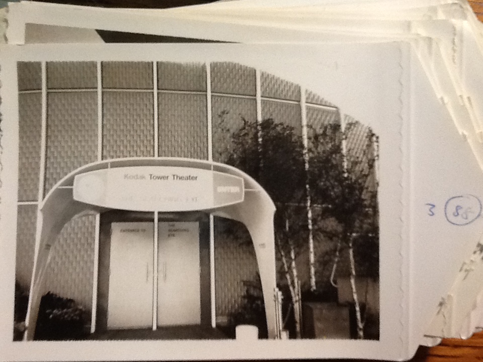
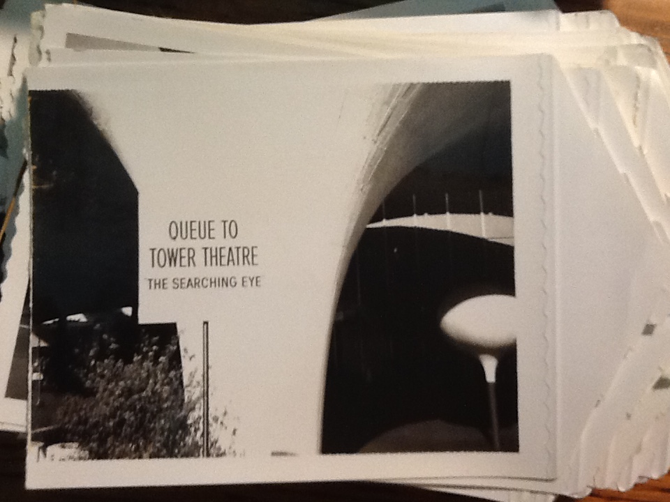
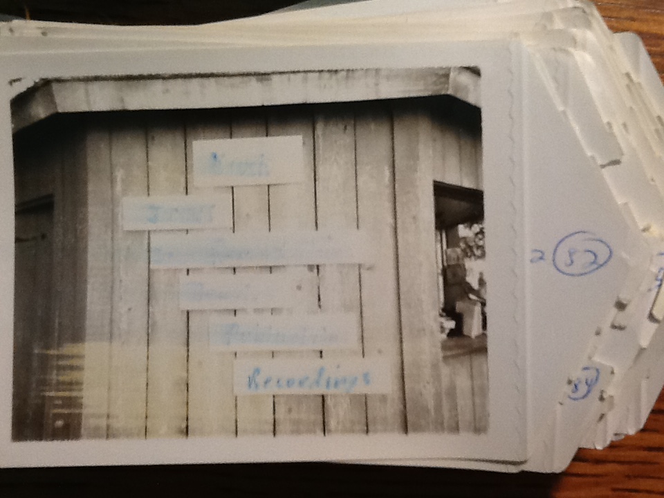
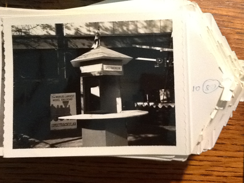
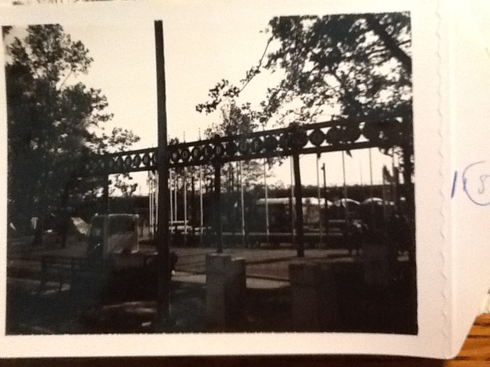
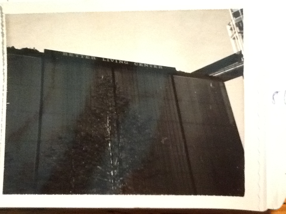
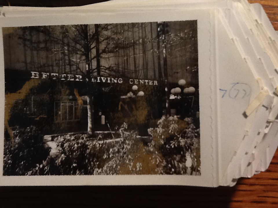
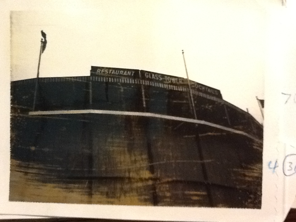
Within the collection, I also found a mysterious envelope of photographs marked “signs.” The envelope contained many photos of signs from all around the fair. Below are photos of the contents.
As we strive to produce 3D models of the entire historical core of the fair, I realized how complicated it would be to represent the entire cultural landscape of the fair in a 3D medium. The landscape consists not only of masses of buildings and landscape features such as trees and fountains, but the many instances of advertising, wayfinding, and general enticing and exciting crowds through the use signs. The signs also provide insights into the typography and advertising of the ’60s.
