
Contributed by NOAA Northeast Regional Climate Center, Cornell University
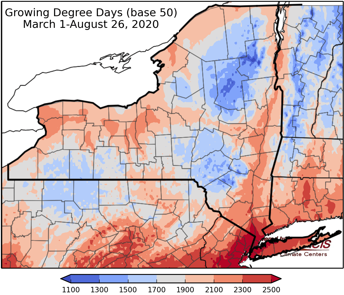
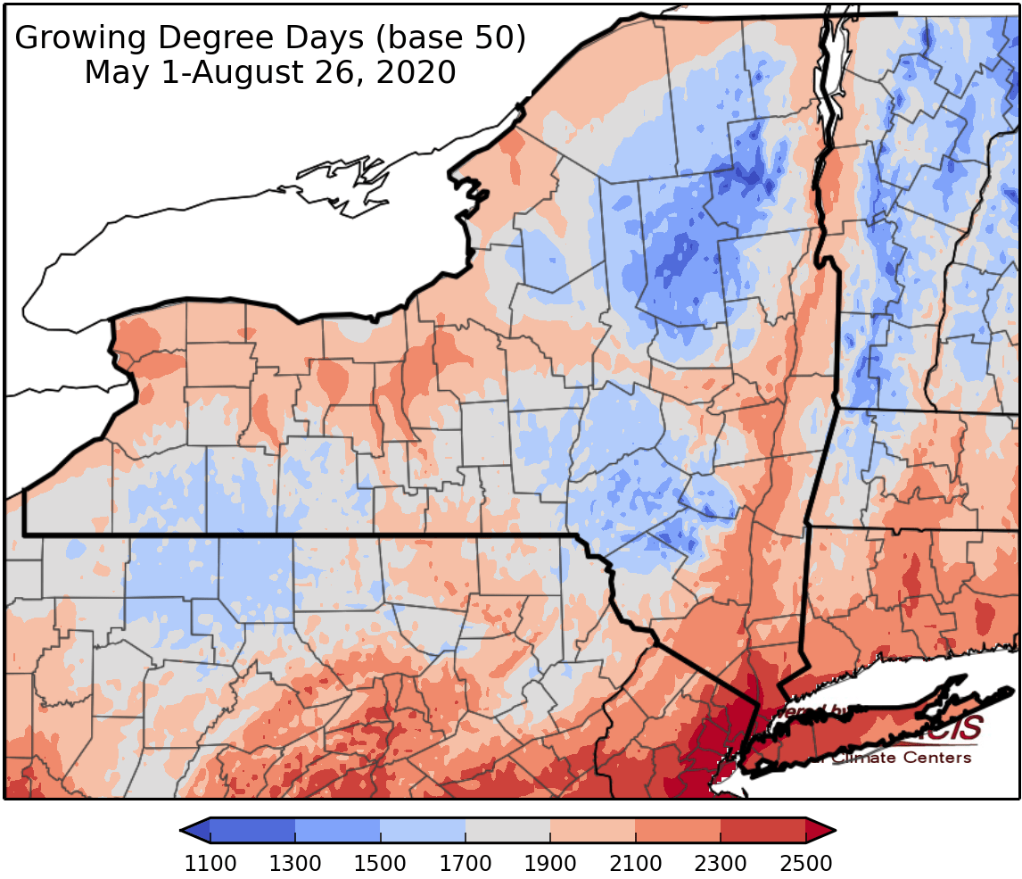
Last week temperatures ranged from near normal to 6 degrees above normal. Precipitation has ranged from less than a quarter of an inch to an isolated area of over 3 inches in isolated areas. Base 50 growing degree-days ranged from 70-170.


Today some early morning showers and thunderstorms from a warm front. Temperatures will warm into the mid 80s to low 90s where the skies clear in southern areas of the state, but only warm into the low to mid 70s in northern areas. A cold front will move through in the afternoon to early evening causing a probable severe weather outbreak. Risks include wind gusts of 70mph or higher, hail larger than 2”, and tornadoes. Heavy rainfall and flash flooding is also possible. Overnight lows will be in the mid 50s to mid 60s with severe weather threat generally ending by 9pm and only lingering rain showers.
Friday temperatures will be in the mid 70s to mid 80s with cloudy conditions and increasing chances of showers and thunderstorms from another warm front. Overnight temperatures will be in the mid 50s to mid 60s with tropical moisture moving in.
Saturday temperatures will be in the 70s, some southeast areas will climb into the 80s, with a chance for severe storms and will have tropical moisture from the remnants of Hurricane Laura. Heavy rain and flash flooding are possible. Overnight temperatures will be in the 50s.
Sunday highs will be in the upper 60s to mid 70s with scattered showers possible. Overnight temperatures will be in the mid 40s to mid 50s.
Monday temperatures will be in the upper 60s to mid 70s. Overnight temperatures will be in the upper 40s to mid 50s.
Tuesday highs will be in the 70s with scattered shower and thunderstorms possible. Overnight temperatures will be in the 50s.
Wednesday highs will be in the 70s with showers and thunderstorms possible. Overnight temperatures will be in the 50s.
The seven-day precipitation amounts will range from 1.25” to over 4.00” inches.
The 8-14 day outlook (September 3-9) favors above-normal temperatures and favors above-normal precipitation.
Maps of 8-14 day outlooks:
http://www.cpc.ncep.noaa.gov/products/predictions/814day/index.php
National Weather Service watch/warnings map:
http://www.weather.gov/erh/
US Drought Monitor
http://droughtmonitor.unl.edu/
CLIMOD2 (NRCC data interface):
http://climod2.nrcc.cornell.edu
