
NOAA Northeast Regional Climate Center, Cornell University
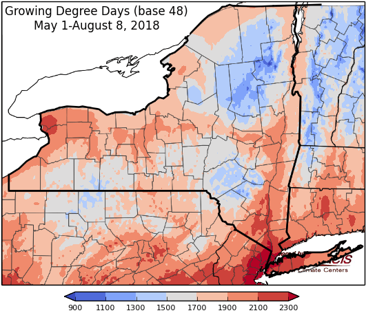
Last week temperatures were 4-8 degrees above-normal. Precipitation has ranged from less than ½ “ to over 4”, with an additional tenth to 2” over the last 24 hours. Base 50 growing degree-days ranged from 130-190. Moderate drought continues in part of western and northern NY; conditions improved in Otsego & Schoharie.


Seasonable temperatures, only scattered showers and thunderstorms till next week when heavy rain is possible.
Today temperatures will be in the upper 70s and 80s with mostly dry conditions after morning showers move out, humid conditions will linger. Overnight lows will be in the upper 50s to upper 60s with a cold front bringing a chance of showers and thunderstorms.
Friday highs will be in the mid 70s to mid 80s with scattered showers and thunderstorms and lower humidity. Overnight temperatures will be in the mid 50s to near 60.
Saturday temperatures will be in the mid 70s to low 80s, it will be a mostly dry day with some scattered showers and thunderstorms. Overnight temperatures will be in the mid 50s to low 60s.
Sunday highs will be in the mid 70s to mid 80s with mostly dry conditions, an isolated afternoon shower or thunderstorm is possible. Overnight temperatures will be in the low to mid 60s.
Monday temperatures will be in the mid 70s to mid 80s with widespread showers and thunderstorms in the afternoon. Overnight temperatures will be in the 60s.
Tuesday highs will be in the mid 70s to low 80s with showers and thunderstorms likely, with heavy rainfall possible. Overnight temperatures will be in the 60s.
Wednesday highs will be in the 80s with high humidity and lingering showers. Overnight temperatures will be in the 60s.
The seven-day precipitation amounts will range from half an inch to one inch for most of the state, up to 2” in southeast NY. Locally heavy rainfall next week will increase these amounts for some areas.
The 8-14 day outlook (Aug 16-27) favors above-normal temperatures for all of the state and favors above-normal precipitation for most of the state, excluding part of southeast NY.
Maps of 8-14 day outlooks:
http://www.cpc.ncep.noaa.gov/products/predictions/814day/index.php
National Weather Service watch/warnings map:
http://www.weather.gov/erh/
US Drought Monitor
http://droughtmonitor.unl.edu/Home.aspx
Drought Impact Reporter:
http://droughtreporter.unl.edu/map
CLIMOD2 (NRCC data interface):
http://climodtest.nrcc.cornell.edu
