
NOAA Northeast Regional Climate Center, Cornell University
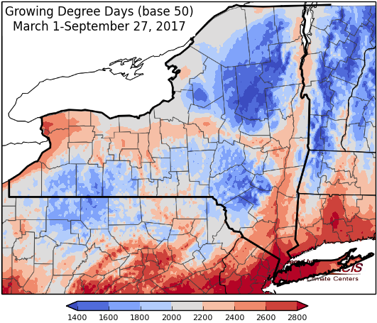
Last week temperatures ranged from 10 to 16 degrees above normal! Precipitation has been none at all for most of the state, some areas have seen a few hundredths of an inch. Base 50 growing degree-days ranged from 90-170.


Returning to seasonable temperatures before warming up again next week. First frost possible for some areas Saturday night.
Today temperatures will be in the 60’s for most areas, though southeast NY will reach into the 70’s, with sunny conditions. This will be 20 degrees cooler than earlier in the week for some places! Overnight lows will be in the 40’s.
Friday temperatures will range from the mid 50’s to the mid 60’s with scattered showers and some thunderstorms possible as a cold front passes. Overnight temperatures will be in the 40’s, dipping into the 30’s in northern areas.
Saturday will in 50’s and low 60’s with scattered showers possible in the morning. Overnight temperatures will be in the 30’s and low 40’s with a first frost possible.
Sunday will be sunny with highs in the 60’s. Overnight temperatures will be in the upper 30’s to mid 40’s.
Monday’s highs will warm into the mid 60’s to low 70’s. Lows will be in the 40’s.
Tuesday will be in the 70’s and near 80. Lows will be in the 50’s.
Wednesday, temperatures will be in the 70’s and near 80. Lows will be in the 50’s.
The seven-day precipitation amounts will range from a trace to near half an inch.
The 8-14 day outlook (Oct 4-10) favors above-normal temperatures for the state. The precipitation outlook slightly favors below-normal precipitation for a majority of the state.
Maps of 8-14 day outlooks:
http://www.cpc.ncep.noaa.gov/products/predictions/814day/index.php
National Weather Service watch/warnings map:
http://www.weather.gov/erh/
US Drought Monitor
http://droughtmonitor.unl.edu/Home.aspx
CLIMOD2 (NRCC data interface):
http://climodtest.nrcc.cornell.edu
